Area Overview for B49 6PA
Photos of B49 6PA
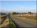
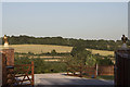
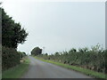
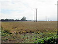
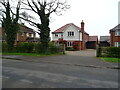
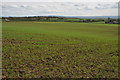
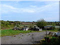
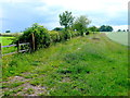
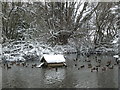
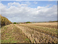
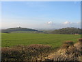
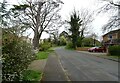
12 photos from this area
Area Information
Key information about the B49 6PA including its size, population, and administrative classification.
- Area Type
- Postcode
- Area Size
- 30.9 hectares
- Population
- 2589
- Population Density
- 80 people/km²
House Prices in B49 6PA
41
Properties
£603,822
Average Sold Price
£79,950
Lowest Price
£1,235,000
Highest Price
Showing 41 properties
| Address | Type | Beds | Baths | Last Sale Price | Last Sale Date | |
|---|---|---|---|---|---|---|
| 27 Croft Lane, Temple Grafton, B49 6PA | Semi-detached | 3 | 2 | £340,000 | Mar 2025 | |
| Seal Chase, Croft Lane, Temple Grafton, B49 6PA | Detached | 6 | 4 | £950,000 | Nov 2023 | |
| May Barn, Croft Lane, Temple Grafton, B49 6PA | house | - | - | £1,235,000 | Nov 2022 | |
| Four Winds, Croft Lane, Temple Grafton, B49 6PA | Detached | 4 | 3 | £685,000 | Aug 2020 | |
| Croft House, Croft Lane, Temple Grafton, B49 6PA | Detached | 4 | - | £699,950 | Apr 2018 | |
| Temple View, Croft Lane, Temple Grafton, B49 6PA | house | - | - | £740,000 | Jun 2017 | |
| Hathaway House, Croft Lane, Temple Grafton, B49 6PA | Detached | 5 | 3 | £482,500 | Aug 2015 | |
| 28 Croft Lane, Temple Grafton, B49 6PA | Semi-detached | - | - | £222,000 | May 2007 | |
| 33 Croft Lane, Temple Grafton, B49 6PA | house | - | - | £79,950 | Sep 1997 | |
| 18 Croft Lane, Temple Grafton, B49 6PA | Detached | 5 | 3 | - | - |
Page 1 of 5
Energy Efficiency in B49 6PA
Amenities
Schools
| Rank | School | Type | Entry gender | Ages |
|---|
Explore more schools in this area
Go to Schools tabDemographics
Household Size
Two person
most common
Accommodation Type
Houses
most common
Tenure
82
majority
Ethnic Group
White
most common
Religion
N/A
most common
Household Composition
N/A
most common
Age
47
median
Adults (30-64 years)
most common
Household Deprivation
N/A
with no deprivation
NS-SEC
43
in Lower managerial occupations
Explore more demographic insights in this area
Go to Demographics tabPlanning
Planning Constraints
- Flood RiskPremium
- Ramsar Wetland SitesPremium
- Area of Outstanding Natural BeautyPremium
- Protected Nature ReservePremium
- Protected WoodlandPremium