Area Overview for B49 6NS
Photos of B49 6NS
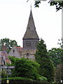
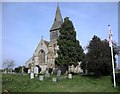
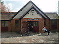
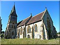
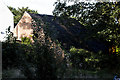
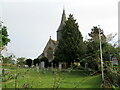
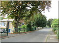
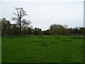
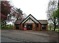
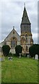

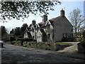
32 photos from this area
Area Information
Key information about the B49 6NS including its size, population, and administrative classification.
- Area Type
- Postcode
- Area Size
- 42.7 hectares
- Population
- 2589
- Population Density
- 80 people/km²
House Prices in B49 6NS
19
Properties
£460,667
Average Sold Price
£105,000
Lowest Price
£681,000
Highest Price
Showing 19 properties
| Address | Type | Beds | Baths | Last Sale Price | Last Sale Date | |
|---|---|---|---|---|---|---|
| Coach House, Church Bank, Temple Grafton, B49 6NS | house | - | - | £550,000 | Sep 2023 | |
| Dairy Cottage, Church Bank, Temple Grafton, B49 6NS | Semi-detached | 3 | 2 | £410,000 | Sep 2019 | |
| Hilltop Cottage, Church Bank, Temple Grafton, B49 6NS | Cottage | 4 | 3 | £530,000 | Oct 2018 | |
| Templar House, Church Bank, Temple Grafton, B49 6NS | house | - | - | £105,000 | May 2018 | |
| The Driftway, Church Bank, Temple Grafton, B49 6NS | Terraced | 4 | - | £681,000 | Sep 2017 | |
| Grafton House, Church Bank, Temple Grafton, B49 6NS | Detached | 5 | 3 | £640,000 | Aug 2009 | |
| The Wagon House, Church Bank, Temple Grafton, B49 6NS | Terraced | - | - | £460,000 | Apr 2007 | |
| Southfield, Church Bank, Temple Grafton, B49 6NS | Detached | 3 | 2 | £450,000 | Jul 2004 | |
| The Dovecote, Church Bank, Temple Grafton, B49 6NS | Terraced | - | - | £320,000 | Jun 2004 | |
| Hawthorns, Church Bank, Temple Grafton, B49 6NS | Semi-detached | 3 | 2 | - | - |
Page 1 of 2
Energy Efficiency in B49 6NS
Amenities
Schools
| Rank | School | Type | Entry gender | Ages |
|---|
Explore more schools in this area
Go to Schools tabDemographics
Household Size
Two person
most common
Accommodation Type
Houses
most common
Tenure
82
majority
Ethnic Group
White
most common
Religion
N/A
most common
Household Composition
N/A
most common
Age
47
median
Adults (30-64 years)
most common
Household Deprivation
N/A
with no deprivation
NS-SEC
43
in Lower managerial occupations
Explore more demographic insights in this area
Go to Demographics tabPlanning
Planning Constraints
- Flood RiskPremium
- Ramsar Wetland SitesPremium
- Area of Outstanding Natural BeautyPremium
- Protected Nature ReservePremium
- Protected WoodlandPremium