Area Overview for B49 5DY
Photos of B49 5DY
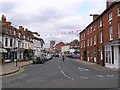

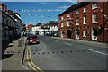

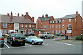

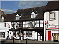
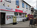
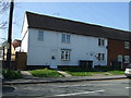
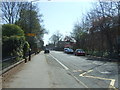

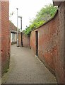
89 photos from this area
Area Information
Key information about the B49 5DY including its size, population, and administrative classification.
- Area Type
- Postcode
- Area Size
- 1.2 hectares
- Population
- 1431
- Population Density
- 225 people/km²
House Prices in B49 5DY
11
Properties
£442,951
Average Sold Price
£300,000
Lowest Price
£700,000
Highest Price
Showing 11 properties
| Address | Type | Beds | Baths | Last Sale Price | Last Sale Date | |
|---|---|---|---|---|---|---|
| 14 Priory Road, Alcester, B49 5DY | Terraced | 4 | 1 | £300,000 | Jul 2023 | |
| 10 Priory Road, Alcester, B49 5DY | Terraced | 4 | - | £536,000 | Feb 2021 | |
| 12 Priory Road, Alcester, B49 5DY | house | - | - | £300,000 | Jul 2020 | |
| Rosehill, Priory Road, Alcester, B49 5DY | Bungalow | 2 | 1 | £700,000 | Sep 2019 | |
| Berryfield, Priory Road, Alcester, B49 5DY | Detached | 4 | 2 | £510,000 | Dec 2018 | |
| Saltway House, 6 Priory Road, Alcester, B49 5DY | Detached | 3 | 1 | £311,706 | Apr 2017 | |
| Flat 2 Health Centre, County Buildings, Priory Road, Alcester, B49 5DY | Flat | - | - | - | - | |
| Hall, Our Lady And St Josephs Church, Priory Road, Alcester, B49 5DY | commercial | - | - | - | - | |
| Pulse8+ Ltd, First Floor, Alcester Health Centre, Priory Road, Alcester, B49 5DY | Office | - | - | - | - | |
| The Presbytery, Our Lady And St Josephs Church, Priory Road, Alcester, B49 5DY | Semi-detached | - | - | - | - |
Page 1 of 2
Energy Efficiency in B49 5DY
Amenities
Schools
| Rank | School | Type | Entry gender | Ages |
|---|
Explore more schools in this area
Go to Schools tabDemographics
Household Size
Two person
most common
Accommodation Type
Houses
most common
Tenure
78
majority
Ethnic Group
White
most common
Religion
N/A
most common
Household Composition
N/A
most common
Age
47
median
Adults (30-64 years)
most common
Household Deprivation
N/A
with no deprivation
NS-SEC
44
in Lower managerial occupations
Explore more demographic insights in this area
Go to Demographics tabPlanning
Planning Constraints
- Flood RiskPremium
- Ramsar Wetland SitesPremium
- Area of Outstanding Natural BeautyPremium
- Protected Nature ReservePremium
- Protected WoodlandPremium