Area Overview for B48 7QE
Photos of B48 7QE
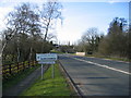
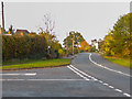
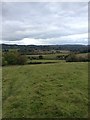
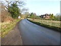
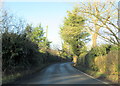
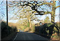
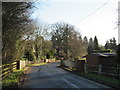
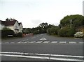
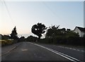
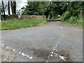
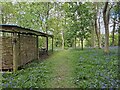
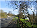
18 photos from this area
Area Information
Key information about the B48 7QE including its size, population, and administrative classification.
- Area Type
- Postcode
- Area Size
- 23.6 hectares
- Population
- 1567
- Population Density
- 82 people/km²
House Prices in B48 7QE
31
Properties
£423,802
Average Sold Price
£116,000
Lowest Price
£790,000
Highest Price
Showing 31 properties
| Address | Type | Beds | Baths | Last Sale Price | Last Sale Date | |
|---|---|---|---|---|---|---|
| Conway, Rowney Green Lane, Rowney Green, Alvechurch, B48 7QE | house | - | - | £790,000 | Jul 2025 | |
| Ringwood, Rowney Green Lane, Rowney Green, Alvechurch, B48 7QE | Detached | 3 | 1 | £700,000 | Jun 2024 | |
| Hollymount, Rowney Green Lane, Rowney Green, Alvechurch, B48 7QE | house | - | - | £770,000 | Jul 2023 | |
| Fernleigh, Rowney Green Lane, Rowney Green, Alvechurch, B48 7QE | Detached | 3 | - | £355,000 | Jan 2021 | |
| Apple Tree Cottage, Rowney Green Lane, Rowney Green, Alvechurch, B48 7QE | house | - | - | £390,000 | Nov 2020 | |
| Crantock, Rowney Green Lane, Rowney Green, Alvechurch, B48 7QE | house | - | - | £673,000 | Sep 2019 | |
| The Brambles, Rowney Green Lane, Rowney Green, Alvechurch, B48 7QE | Detached | 4 | 2 | £475,000 | Apr 2018 | |
| Overlea, Rowney Green Lane, Rowney Green, Alvechurch, B48 7QE | Detached | 4 | 3 | £690,000 | Dec 2017 | |
| High Croft, Rowney Green Lane, Rowney Green, Alvechurch, B48 7QE | Semi-detached | 3 | 1 | £285,000 | Sep 2016 | |
| Treslay, Rowney Green Lane, Rowney Green, Alvechurch, B48 7QE | Detached | 4 | 2 | £470,000 | Sep 2015 |
Page 1 of 4
Energy Efficiency in B48 7QE
Amenities
Schools
| Rank | School | Type | Entry gender | Ages |
|---|
Explore more schools in this area
Go to Schools tabDemographics
Household Size
Two person
most common
Accommodation Type
Houses
most common
Tenure
89
majority
Ethnic Group
White
most common
Religion
N/A
most common
Household Composition
N/A
most common
Age
47
median
Adults (30-64 years)
most common
Household Deprivation
N/A
with no deprivation
NS-SEC
44
in Lower managerial occupations
Explore more demographic insights in this area
Go to Demographics tabPlanning
Planning Constraints
- Flood RiskPremium
- Ramsar Wetland SitesPremium
- Area of Outstanding Natural BeautyPremium
- Protected Nature ReservePremium
- Protected WoodlandPremium