Area Overview for B46 3EF
Photos of B46 3EF
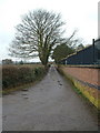
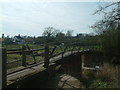
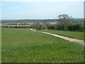
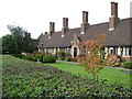
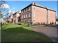
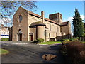
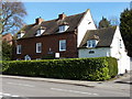
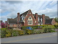
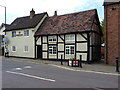


44 photos from this area
Area Information
Key information about the B46 3EF including its size, population, and administrative classification.
- Area Type
- Postcode
- Area Size
- 14.1 hectares
- Population
- 1868
- Population Density
- 261 people/km²
House Prices in B46 3EF
80
Properties
£277,530
Average Sold Price
£120,995
Lowest Price
£615,000
Highest Price
Showing 80 properties
| Address | Type | Beds | Baths | Last Sale Price | Last Sale Date | |
|---|---|---|---|---|---|---|
| 81 Brendan Close, Coleshill, B46 3EF | Terraced | 3 | 2 | £350,000 | Jul 2025 | |
| 3 Brendan Close, Coleshill, B46 3EF | Detached | 4 | 2 | £500,000 | Apr 2025 | |
| 24 Brendan Close, Coleshill, B46 3EF | house | - | - | £535,000 | Mar 2025 | |
| 7 Brendan Close, Coleshill, B46 3EF | Detached | 4 | 2 | £575,000 | Mar 2025 | |
| 47 Brendan Close, Coleshill, B46 3EF | Terraced | 2 | 1 | £260,000 | Oct 2024 | |
| 66 Brendan Close, Coleshill, B46 3EF | house | 4 | 3 | £615,000 | Nov 2023 | |
| 85 Brendan Close, Coleshill, B46 3EF | Semi-detached | 4 | 2 | £336,000 | May 2022 | |
| 61 Brendan Close, Coleshill, B46 3EF | Semi-detached | 2 | 1 | £250,000 | Apr 2022 | |
| 87 Brendan Close, Coleshill, B46 3EF | Semi-detached | 4 | 1 | £292,500 | Jun 2021 | |
| 22 Brendan Close, Coleshill, B46 3EF | Detached | 4 | 2 | £500,000 | Jun 2021 |
Page 1 of 8
Energy Efficiency in B46 3EF
Amenities
Schools
| Rank | School | Type | Entry gender | Ages |
|---|
Explore more schools in this area
Go to Schools tabDemographics
Household Size
Two person
most common
Accommodation Type
Houses
most common
Tenure
76
majority
Ethnic Group
White
most common
Religion
N/A
most common
Household Composition
N/A
most common
Age
47
median
Adults (30-64 years)
most common
Household Deprivation
N/A
with no deprivation
NS-SEC
38
in Lower managerial occupations
Explore more demographic insights in this area
Go to Demographics tabPlanning
Planning Constraints
- Flood RiskPremium
- Ramsar Wetland SitesPremium
- Area of Outstanding Natural BeautyPremium
- Protected Nature ReservePremium
- Protected WoodlandPremium