Area Overview for B46 1TW
Photos of B46 1TW
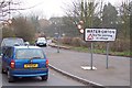
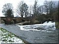
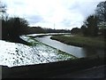
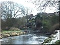
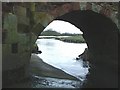
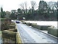
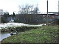
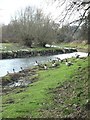
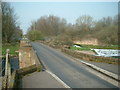
50 photos from this area
Area Information
Key information about the B46 1TW including its size, population, and administrative classification.
- Area Type
- Postcode
- Area Size
- 3.2 hectares
- Population
- 1634
- Population Density
- 1428 people/km²
House Prices in B46 1TW
51
Properties
£279,323
Average Sold Price
£88,000
Lowest Price
£531,450
Highest Price
Showing 51 properties
| Address | Type | Beds | Baths | Last Sale Price | Last Sale Date | |
|---|---|---|---|---|---|---|
| 45 Smiths Way, Water Orton, B46 1TW | Detached | 4 | 3 | £425,000 | Sep 2025 | |
| 41 Smiths Way, Water Orton, B46 1TW | house | 4 | 2 | £531,450 | Dec 2024 | |
| 15 Smiths Way, Water Orton, B46 1TW | Detached | 4 | 2 | £495,000 | Mar 2024 | |
| 4 Smiths Way, Water Orton, B46 1TW | house | 5 | - | £500,000 | Sep 2023 | |
| 50 Smiths Way, Water Orton, B46 1TW | house | - | - | £457,500 | Jan 2023 | |
| 9 Smiths Way, Water Orton, B46 1TW | Retail | 4 | 2 | £427,500 | Sep 2022 | |
| 23 Smiths Way, Water Orton, B46 1TW | house | - | - | £510,000 | Sep 2022 | |
| 11 Smiths Way, Water Orton, B46 1TW | Detached | 4 | 2 | £375,000 | Mar 2021 | |
| 26 Smiths Way, Water Orton, B46 1TW | Detached | 4 | 2 | £360,000 | Jul 2020 | |
| 44 Smiths Way, Water Orton, B46 1TW | Detached | 4 | 2 | £367,000 | Jan 2020 |
Page 1 of 6
Energy Efficiency in B46 1TW
Amenities
Schools
| Rank | School | Type | Entry gender | Ages |
|---|
Explore more schools in this area
Go to Schools tabDemographics
Household Size
Two person
most common
Accommodation Type
Houses
most common
Tenure
80
majority
Ethnic Group
White
most common
Religion
N/A
most common
Household Composition
N/A
most common
Age
47
median
Adults (30-64 years)
most common
Household Deprivation
N/A
with no deprivation
NS-SEC
36
in Lower managerial occupations
Explore more demographic insights in this area
Go to Demographics tabPlanning
Planning Constraints
- Flood RiskPremium
- Ramsar Wetland SitesPremium
- Area of Outstanding Natural BeautyPremium
- Protected Nature ReservePremium
- Protected WoodlandPremium