Area Overview for B46 1NN
Photos of B46 1NN
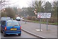
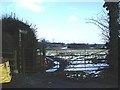
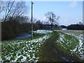
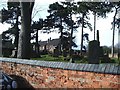

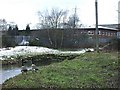
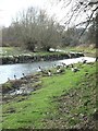
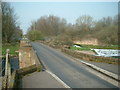
50 photos from this area
Area Information
Key information about the B46 1NN including its size, population, and administrative classification.
- Area Type
- Postcode
- Area Size
- 9821 m²
- Population
- 1848
- Population Density
- 1344 people/km²
House Prices in B46 1NN
16
Properties
£208,306
Average Sold Price
£95,000
Lowest Price
£350,000
Highest Price
Showing 16 properties
| Address | Type | Beds | Baths | Last Sale Price | Last Sale Date | |
|---|---|---|---|---|---|---|
| 21 Marsh Lane, Water Orton, B46 1NN | Retail | 3 | 1 | £350,000 | Apr 2022 | |
| 35 Marsh Lane, Water Orton, B46 1NN | Semi-detached | 3 | 1 | £285,000 | Apr 2021 | |
| 27 Marsh Lane, Water Orton, B46 1NN | house | - | - | £238,000 | Aug 2020 | |
| 43 Marsh Lane, Water Orton, B46 1NN | Semi-detached | 3 | 1 | £172,500 | Oct 2014 | |
| 23 Marsh Lane, Water Orton, B46 1NN | house | - | - | £189,000 | Jul 2013 | |
| 31 Marsh Lane, Water Orton, B46 1NN | house | - | - | £159,950 | Sep 2008 | |
| 33 Marsh Lane, Water Orton, B46 1NN | house | - | - | £177,000 | Jul 2004 | |
| 15 Marsh Lane, Water Orton, B46 1NN | Semi-detached | 3 | - | £95,000 | Sep 1999 | |
| 13 Marsh Lane, Water Orton, B46 1NN | Land | 3 | 1 | - | - | |
| 29 Marsh Lane, Water Orton, B46 1NN | house | - | - | - | - |
Page 1 of 2
Energy Efficiency in B46 1NN
Amenities
Schools
| Rank | School | Type | Entry gender | Ages |
|---|
Explore more schools in this area
Go to Schools tabDemographics
Household Size
Two person
most common
Accommodation Type
Houses
most common
Tenure
81
majority
Ethnic Group
White
most common
Religion
N/A
most common
Household Composition
N/A
most common
Age
47
median
Adults (30-64 years)
most common
Household Deprivation
N/A
with no deprivation
NS-SEC
37
in Lower managerial occupations
Explore more demographic insights in this area
Go to Demographics tabPlanning
Planning Constraints
- Flood RiskPremium
- Ramsar Wetland SitesPremium
- Area of Outstanding Natural BeautyPremium
- Protected Nature ReservePremium
- Protected WoodlandPremium