Area Overview for B46 1JA
Photos of B46 1JA
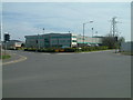
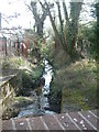
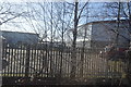

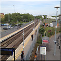
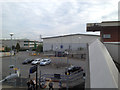

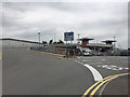
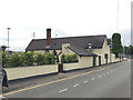
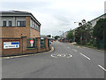
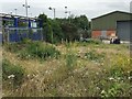
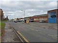
34 photos from this area
Area Information
Key information about the B46 1JA including its size, population, and administrative classification.
- Area Type
- Postcode
- Area Size
- 1.7 hectares
- Population
- 1517
- Population Density
- 777 people/km²
House Prices in B46 1JA
16
Properties
-
Average Sold Price
-
Lowest Price
-
Highest Price
Showing 16 properties
| Address | Type | Beds | Baths | Last Sale Price | Last Sale Date | |
|---|---|---|---|---|---|---|
| Soloman Lloyd Ltd, 17, The Courtyard, Gorsey Lane, Coleshill, B46 1JA | Office | - | - | - | - | |
| 20, The Courtyard, Gorsey Lane, Coleshill, B46 1JA | Office | - | - | - | - | |
| 18, The Courtyard, Gorsey Lane, Coleshill, B46 1JA | office_workshop | - | - | - | - | |
| K & M Computer Systems Ltd, 15, The Courtyard, Gorsey Lane, Coleshill, B46 1JA | office_workshop | - | - | - | - | |
| Liason Ltd, B T C House, The Courtyard, Gorsey Lane, Coleshill, B46 1JA | Office | - | - | - | - | |
| 21, The Courtyard, Gorsey Lane, Coleshill, B46 1JA | Office | - | - | - | - | |
| Smc Pneumatics (uk) Limited, 24, The Courtyard, Gorsey Lane, Coleshill, B46 1JA | office_workshop | - | - | - | - | |
| Part Ground Floor And First Floor, The Courtyard, 18 Gorsey Lane, Coleshill, B46 1JA | Office | - | - | - | - | |
| Dunton Plant Limited, The Courtyard, 16 Gorsey Lane, Coleshill, B46 1JA | Office | - | - | - | - | |
| Contract Labour Hire Limited, The Courtyard, 16 Gorsey Lane, Coleshill, B46 1JA | office_workshop | - | - | - | - |
Page 1 of 2
Energy Efficiency in B46 1JA
Amenities
Schools
| Rank | School | Type | Entry gender | Ages |
|---|
Explore more schools in this area
Go to Schools tabDemographics
Household Size
Two person
most common
Accommodation Type
Houses
most common
Tenure
76
majority
Ethnic Group
White
most common
Religion
N/A
most common
Household Composition
N/A
most common
Age
47
median
Adults (30-64 years)
most common
Household Deprivation
N/A
with no deprivation
NS-SEC
33
in Lower managerial occupations
Explore more demographic insights in this area
Go to Demographics tabPlanning
Planning Constraints
- Flood RiskPremium
- Ramsar Wetland SitesPremium
- Area of Outstanding Natural BeautyPremium
- Protected Nature ReservePremium
- Protected WoodlandPremium