Area Overview for B45 9WA
Photos of B45 9WA
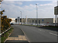
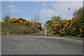
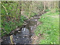
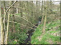
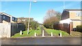
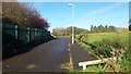
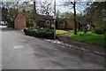
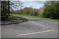
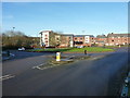
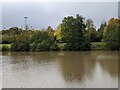
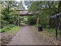
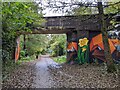
20 photos from this area
Area Information
Key information about the B45 9WA including its size, population, and administrative classification.
- Area Type
- Postcode
- Area Size
- 3.2 hectares
- Population
- 2282
- Population Density
- 2835 people/km²
House Prices in B45 9WA
61
Properties
£116,991
Average Sold Price
£59,950
Lowest Price
£300,000
Highest Price
Showing 61 properties
| Address | Type | Beds | Baths | Last Sale Price | Last Sale Date | |
|---|---|---|---|---|---|---|
| 227 Park Way, Birmingham, B45 9WA | Flat | - | - | £145,000 | Dec 2025 | |
| 229 Park Way, Birmingham, B45 9WA | Flat | 2 | 1 | £152,500 | Dec 2024 | |
| 216 Park Way, Birmingham, B45 9WA | Flat | - | - | £142,500 | Oct 2024 | |
| 223 Park Way, Birmingham, B45 9WA | Flat | - | - | £140,000 | Jul 2024 | |
| 219 Park Way, Birmingham, B45 9WA | Terraced | 4 | 2 | £300,000 | Jun 2024 | |
| 283 Park Way, Birmingham, B45 9WA | Flat | - | - | £150,000 | Feb 2024 | |
| 287 Park Way, Birmingham, B45 9WA | Flat | - | - | £154,000 | Dec 2023 | |
| 281 Park Way, Birmingham, B45 9WA | Flat | 2 | 1 | £142,000 | Nov 2023 | |
| 269 Park Way, Birmingham, B45 9WA | Flat | - | - | £130,000 | Apr 2023 | |
| 257 Park Way, Birmingham, B45 9WA | Flat | 2 | 1 | £147,000 | Apr 2023 |
Page 1 of 7
Energy Efficiency in B45 9WA
Amenities
Schools
| Rank | School | Type | Entry gender | Ages |
|---|
Explore more schools in this area
Go to Schools tabDemographics
Household Size
Family (3-5 people)
most common
Accommodation Type
Houses
most common
Tenure
74
majority
Ethnic Group
White
most common
Religion
N/A
most common
Household Composition
N/A
most common
Age
47
median
Adults (30-64 years)
most common
Household Deprivation
N/A
with no deprivation
NS-SEC
36
in Lower managerial occupations
Explore more demographic insights in this area
Go to Demographics tabPlanning
Planning Constraints
- Flood RiskPremium
- Ramsar Wetland SitesPremium
- Area of Outstanding Natural BeautyPremium
- Protected Nature ReservePremium
- Protected WoodlandPremium