Area Overview for B45 9TB
Photos of B45 9TB
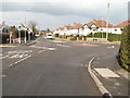
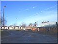
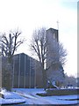
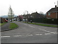
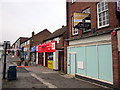
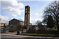
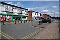
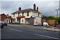
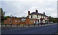
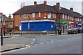
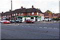
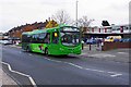
85 photos from this area
Area Information
Key information about the B45 9TB including its size, population, and administrative classification.
- Area Type
- Postcode
- Area Size
- 1.0 hectares
- Population
- 1450
- Population Density
- 4983 people/km²
House Prices in B45 9TB
26
Properties
£181,582
Average Sold Price
£78,000
Lowest Price
£312,500
Highest Price
Showing 26 properties
| Address | Type | Beds | Baths | Last Sale Price | Last Sale Date | |
|---|---|---|---|---|---|---|
| 37 Leasowe Road, Rubery, B45 9TB | Semi-detached | 3 | 1 | £243,000 | Feb 2024 | |
| 1 Leasowe Road, Rubery, B45 9TB | Semi-detached | 3 | 1 | £250,000 | Jun 2023 | |
| 17 Leasowe Road, Rubery, B45 9TB | house | - | - | £312,500 | Dec 2020 | |
| 33 Leasowe Road, Rubery, B45 9TB | Semi-detached | 4 | 1 | £250,000 | Oct 2020 | |
| 7 Leasowe Road, Rubery, B45 9TB | Semi-detached | 3 | - | £208,855 | May 2018 | |
| 27 Leasowe Road, Rubery, B45 9TB | Semi-detached | 3 | 1 | £175,000 | Apr 2016 | |
| 23 Leasowe Road, Rubery, B45 9TB | Detached | 4 | 1 | £239,950 | May 2015 | |
| 25 Leasowe Road, Rubery, B45 9TB | Semi-detached | 3 | - | £142,000 | Oct 2013 | |
| 39 Leasowe Road, Rubery, B45 9TB | house | - | - | £140,000 | Aug 2013 | |
| 41 Leasowe Road, Rubery, B45 9TB | Terraced | - | - | £175,000 | Dec 2010 |
Page 1 of 3
Energy Efficiency in B45 9TB
Amenities
Schools
| Rank | School | Type | Entry gender | Ages |
|---|
Explore more schools in this area
Go to Schools tabDemographics
Household Size
Two person
most common
Accommodation Type
Houses
most common
Tenure
93
majority
Ethnic Group
White
most common
Religion
N/A
most common
Household Composition
N/A
most common
Age
47
median
Adults (30-64 years)
most common
Household Deprivation
N/A
with no deprivation
NS-SEC
35
in Lower managerial occupations
Explore more demographic insights in this area
Go to Demographics tabPlanning
Planning Constraints
- Flood RiskPremium
- Ramsar Wetland SitesPremium
- Area of Outstanding Natural BeautyPremium
- Protected Nature ReservePremium
- Protected WoodlandPremium