Area Overview for B45 9LX
Photos of B45 9LX
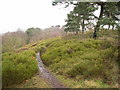
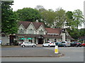

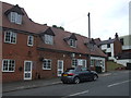
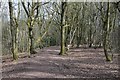

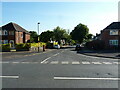
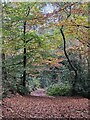
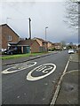
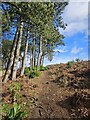
51 photos from this area
Area Information
Key information about the B45 9LX including its size, population, and administrative classification.
- Area Type
- Postcode
- Area Size
- 7803 m²
- Population
- 1424
- Population Density
- 6426 people/km²
House Prices in B45 9LX
16
Properties
£121,883
Average Sold Price
£59,999
Lowest Price
£235,000
Highest Price
Showing 16 properties
| Address | Type | Beds | Baths | Last Sale Price | Last Sale Date | |
|---|---|---|---|---|---|---|
| 52 Newman Way, Birmingham, B45 9LX | Semi-detached | 3 | 1 | £235,000 | Jan 2023 | |
| 32 Newman Way, Birmingham, B45 9LX | Terraced | 3 | 1 | £192,000 | May 2022 | |
| 36 Newman Way, Birmingham, B45 9LX | Terraced | 3 | 1 | £87,500 | Jul 2014 | |
| 38 Newman Way, Birmingham, B45 9LX | house | 3 | - | £98,500 | Nov 2012 | |
| 44 Newman Way, Birmingham, B45 9LX | house | - | - | £120,000 | Apr 2007 | |
| 50 Newman Way, Birmingham, B45 9LX | Detached | 2 | 2 | £115,000 | Jan 2007 | |
| 50A Newman Way, Birmingham, B45 9LX | Detached | 2 | 1 | £104,950 | Feb 2004 | |
| 46 Newman Way, Birmingham, B45 9LX | house | - | - | £84,000 | Dec 2003 | |
| 52A Newman Way, Birmingham, B45 9LX | Semi-detached | 3 | 1 | £59,999 | May 1999 | |
| 34 Newman Way, Birmingham, B45 9LX | house | - | - | - | - |
Page 1 of 2
Energy Efficiency in B45 9LX
Amenities
Schools
| Rank | School | Type | Entry gender | Ages |
|---|
Explore more schools in this area
Go to Schools tabDemographics
Household Size
One person
most common
Accommodation Type
Houses
most common
Tenure
70
majority
Ethnic Group
White
most common
Religion
N/A
most common
Household Composition
N/A
most common
Age
47
median
Adults (30-64 years)
most common
Household Deprivation
N/A
with no deprivation
NS-SEC
28
in Lower managerial occupations
Explore more demographic insights in this area
Go to Demographics tabPlanning
Planning Constraints
- Flood RiskPremium
- Ramsar Wetland SitesPremium
- Area of Outstanding Natural BeautyPremium
- Protected Nature ReservePremium
- Protected WoodlandPremium