Area Overview for B45 9EL
Photos of B45 9EL
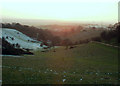
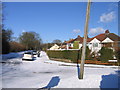
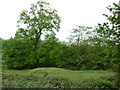
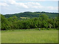
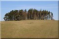
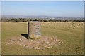
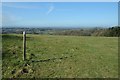
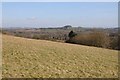
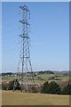
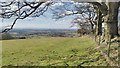
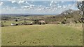
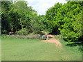
56 photos from this area
Area Information
Key information about the B45 9EL including its size, population, and administrative classification.
- Area Type
- Postcode
- Area Size
- 8.4 hectares
- Population
- 1376
- Population Density
- 632 people/km²
House Prices in B45 9EL
26
Properties
£184,032
Average Sold Price
£59,000
Lowest Price
£422,000
Highest Price
Showing 26 properties
| Address | Type | Beds | Baths | Last Sale Price | Last Sale Date | |
|---|---|---|---|---|---|---|
| 19 School Road, Rubery, B45 9EL | Semi-detached | 3 | 1 | £345,000 | Oct 2023 | |
| 2 School Road, Rubery, B45 9EL | Detached | 3 | 2 | £182,000 | Dec 2022 | |
| 2A School Road, Rubery, B45 9EL | Bungalow | 4 | 2 | £422,000 | Sep 2020 | |
| 9 School Road, Rubery, B45 9EL | Terraced | 3 | - | £158,000 | Dec 2019 | |
| 4 School Road, Rubery, B45 9EL | Semi-detached | 3 | 1 | £179,000 | Apr 2016 | |
| 3 School Road, Rubery, B45 9EL | Detached | 1 | - | £295,000 | Apr 2014 | |
| 15 School Road, Rubery, B45 9EL | house | 3 | - | £174,950 | Nov 2010 | |
| 12 School Road, Rubery, B45 9EL | house | - | - | £110,000 | Oct 2009 | |
| 6A School Road, Rubery, B45 9EL | Terraced | - | - | £188,000 | Dec 2006 | |
| 6B School Road, Rubery, B45 9EL | Terraced | - | - | £191,000 | May 2005 |
Page 1 of 3
Energy Efficiency in B45 9EL
Amenities
Schools
| Rank | School | Type | Entry gender | Ages |
|---|
Explore more schools in this area
Go to Schools tabDemographics
Household Size
Family (3-5 people)
most common
Accommodation Type
Houses
most common
Tenure
82
majority
Ethnic Group
White
most common
Religion
N/A
most common
Household Composition
N/A
most common
Age
47
median
Adults (30-64 years)
most common
Household Deprivation
N/A
with no deprivation
NS-SEC
32
in Lower managerial occupations
Explore more demographic insights in this area
Go to Demographics tabPlanning
Planning Constraints
- Flood RiskPremium
- Ramsar Wetland SitesPremium
- Area of Outstanding Natural BeautyPremium
- Protected Nature ReservePremium
- Protected WoodlandPremium