Area Overview for B45 8RB
Photos of B45 8RB

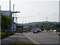

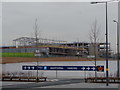
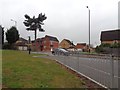
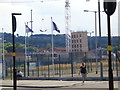
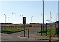
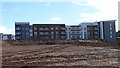
97 photos from this area
Area Information
Key information about the B45 8RB including its size, population, and administrative classification.
- Area Type
- Postcode
- Area Size
- 2.4 hectares
- Population
- 1673
- Population Density
- 6719 people/km²
House Prices in B45 8RB
49
Properties
£143,623
Average Sold Price
£40,000
Lowest Price
£235,000
Highest Price
Showing 49 properties
| Address | Type | Beds | Baths | Last Sale Price | Last Sale Date | |
|---|---|---|---|---|---|---|
| 47 Dowar Road, Birmingham, B45 8RB | Semi-detached | 3 | 1 | £235,000 | Apr 2024 | |
| 3 Dowar Road, Birmingham, B45 8RB | Detached | 3 | 2 | £185,000 | Mar 2024 | |
| 57 Dowar Road, Birmingham, B45 8RB | Detached | 3 | 1 | £210,000 | Dec 2023 | |
| 63 Dowar Road, Birmingham, B45 8RB | Semi-detached | 3 | 1 | £184,000 | Jul 2023 | |
| 69 Dowar Road, Birmingham, B45 8RB | Terraced | 3 | 1 | £200,000 | Jun 2023 | |
| 25 Dowar Road, Birmingham, B45 8RB | Semi-detached | 3 | 1 | £228,500 | Sep 2022 | |
| 17 Dowar Road, Birmingham, B45 8RB | Semi-detached | 3 | 1 | £235,000 | Sep 2021 | |
| 53 Dowar Road, Birmingham, B45 8RB | Semi-detached | 3 | 1 | £190,000 | Dec 2020 | |
| 35 Dowar Road, Birmingham, B45 8RB | Semi-detached | 3 | 1 | £182,000 | Nov 2020 | |
| 85 Dowar Road, Birmingham, B45 8RB | house | - | - | £174,950 | Nov 2020 |
Page 1 of 5
Energy Efficiency in B45 8RB
Amenities
Schools
| Rank | School | Type | Entry gender | Ages |
|---|
Explore more schools in this area
Go to Schools tabDemographics
Household Size
Family (3-5 people)
most common
Accommodation Type
Houses
most common
Tenure
70
majority
Ethnic Group
White
most common
Religion
N/A
most common
Household Composition
N/A
most common
Age
47
median
Adults (30-64 years)
most common
Household Deprivation
N/A
with no deprivation
NS-SEC
27
in Lower managerial occupations
Explore more demographic insights in this area
Go to Demographics tabPlanning
Planning Constraints
- Flood RiskPremium
- Ramsar Wetland SitesPremium
- Area of Outstanding Natural BeautyPremium
- Protected Nature ReservePremium
- Protected WoodlandPremium