Area Overview for B45 8ND
Photos of B45 8ND
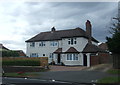
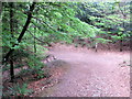
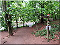
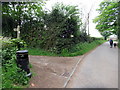
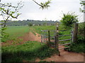
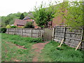
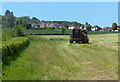
43 photos from this area
Area Information
Key information about the B45 8ND including its size, population, and administrative classification.
- Area Type
- Postcode
- Area Size
- 9799 m²
- Population
- 2435
- Population Density
- 1949 people/km²
House Prices in B45 8ND
16
Properties
£315,417
Average Sold Price
£137,500
Lowest Price
£550,000
Highest Price
Showing 16 properties
| Address | Type | Beds | Baths | Last Sale Price | Last Sale Date | |
|---|---|---|---|---|---|---|
| 31 Barnt Green Road, Cofton Hackett, B45 8ND | Semi-detached | 3 | 1 | £358,000 | Oct 2024 | |
| 15 Barnt Green Road, Cofton Hackett, B45 8ND | Semi-detached | 3 | 1 | £260,000 | Aug 2023 | |
| 35 Barnt Green Road, Cofton Hackett, B45 8ND | house | - | - | £550,000 | Feb 2022 | |
| 21 Barnt Green Road, Cofton Hackett, B45 8ND | house | 3 | 1 | £372,000 | Feb 2022 | |
| 23 Barnt Green Road, Cofton Hackett, B45 8ND | Detached | 3 | - | £265,000 | Dec 2020 | |
| 29 Barnt Green Road, Cofton Hackett, B45 8ND | Semi-detached | 3 | 1 | £319,000 | Sep 2020 | |
| 27 Barnt Green Road, Cofton Hackett, B45 8ND | house | 3 | - | £286,000 | Jun 2018 | |
| 9 Barnt Green Road, Cofton Hackett, B45 8ND | Detached | 5 | - | £410,000 | Sep 2014 | |
| 25 Barnt Green Road, Cofton Hackett, B45 8ND | Semi-detached | 3 | - | £245,000 | Dec 2012 | |
| 33 Barnt Green Road, Cofton Hackett, B45 8ND | house | - | - | £337,500 | Nov 2011 |
Page 1 of 2
Energy Efficiency in B45 8ND
Amenities
Schools
| Rank | School | Type | Entry gender | Ages |
|---|
Explore more schools in this area
Go to Schools tabDemographics
Household Size
Family (3-5 people)
most common
Accommodation Type
Houses
most common
Tenure
90
majority
Ethnic Group
White
most common
Religion
N/A
most common
Household Composition
N/A
most common
Age
47
median
Adults (30-64 years)
most common
Household Deprivation
N/A
with no deprivation
NS-SEC
53
in Lower managerial occupations
Explore more demographic insights in this area
Go to Demographics tabPlanning
Planning Constraints
- Flood RiskPremium
- Ramsar Wetland SitesPremium
- Area of Outstanding Natural BeautyPremium
- Protected Nature ReservePremium
- Protected WoodlandPremium