Area Overview for B45 8FL
Photos of B45 8FL
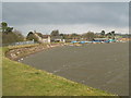
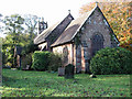
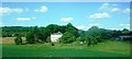
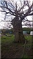
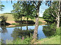
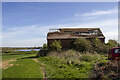
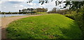

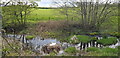
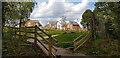
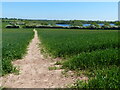
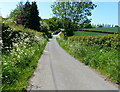
33 photos from this area
Area Information
Key information about the B45 8FL including its size, population, and administrative classification.
- Area Type
- Postcode
- Area Size
- 2.0 hectares
- Population
- 2435
- Population Density
- 1949 people/km²
House Prices in B45 8FL
65
Properties
£216,068
Average Sold Price
£108,015
Lowest Price
£395,000
Highest Price
Showing 65 properties
| Address | Type | Beds | Baths | Last Sale Price | Last Sale Date | |
|---|---|---|---|---|---|---|
| 22 Russell Street, Cofton Hackett, B45 8FL | house | - | - | £135,000 | Aug 2025 | |
| 18 Russell Street, Cofton Hackett, B45 8FL | Terraced | 3 | 1 | £137,500 | Mar 2025 | |
| 73 Russell Street, Cofton Hackett, B45 8FL | Semi-detached | 2 | 2 | £255,000 | Dec 2024 | |
| 69 Russell Street, Cofton Hackett, B45 8FL | Terraced | 3 | 2 | £290,500 | Nov 2024 | |
| 87 Russell Street, Cofton Hackett, B45 8FL | Semi-detached | 4 | 2 | £395,000 | Mar 2024 | |
| 3 Russell Street, Cofton Hackett, B45 8FL | Retail | 3 | 2 | £271,950 | Jul 2022 | |
| 31 Russell Street, Cofton Hackett, B45 8FL | house | - | - | £116,000 | Sep 2021 | |
| 16 Russell Street, Cofton Hackett, B45 8FL | house | - | - | £154,000 | May 2021 | |
| 20 Russell Street, Cofton Hackett, B45 8FL | house | - | - | £154,000 | May 2021 | |
| 49 Russell Street, Cofton Hackett, B45 8FL | house | - | - | £128,000 | Apr 2021 |
Page 1 of 7
Energy Efficiency in B45 8FL
Amenities
Schools
| Rank | School | Type | Entry gender | Ages |
|---|
Explore more schools in this area
Go to Schools tabDemographics
Household Size
Family (3-5 people)
most common
Accommodation Type
Houses
most common
Tenure
90
majority
Ethnic Group
White
most common
Religion
N/A
most common
Household Composition
N/A
most common
Age
47
median
Adults (30-64 years)
most common
Household Deprivation
N/A
with no deprivation
NS-SEC
53
in Lower managerial occupations
Explore more demographic insights in this area
Go to Demographics tabPlanning
Planning Constraints
- Flood RiskPremium
- Ramsar Wetland SitesPremium
- Area of Outstanding Natural BeautyPremium
- Protected Nature ReservePremium
- Protected WoodlandPremium