Area Overview for B45 0LY
Photos of B45 0LY
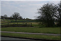
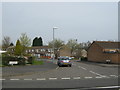
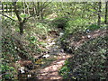
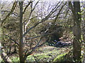
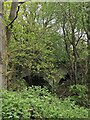
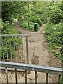
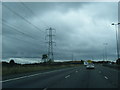
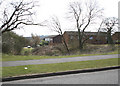
21 photos from this area
Area Information
Key information about the B45 0LY including its size, population, and administrative classification.
- Area Type
- Postcode
- Area Size
- 1.4 hectares
- Population
- 1325
- Population Density
- 4942 people/km²
House Prices in B45 0LY
43
Properties
£116,645
Average Sold Price
£42,500
Lowest Price
£225,000
Highest Price
Showing 43 properties
| Address | Type | Beds | Baths | Last Sale Price | Last Sale Date | |
|---|---|---|---|---|---|---|
| 53 Jubilee Road, Birmingham, B45 0LY | Semi-detached | 3 | 1 | £225,000 | Sep 2025 | |
| 4 Jubilee Road, Birmingham, B45 0LY | Terraced | 3 | 1 | £140,000 | Aug 2020 | |
| 24 Jubilee Road, Birmingham, B45 0LY | Semi-detached | 2 | 1 | £135,000 | Jun 2020 | |
| 32 Jubilee Road, Birmingham, B45 0LY | Terraced | 3 | 1 | £150,000 | Jun 2019 | |
| 41 Jubilee Road, Birmingham, B45 0LY | house | 2 | 1 | £117,000 | Mar 2019 | |
| 63 Jubilee Road, Birmingham, B45 0LY | Terraced | 2 | - | £88,000 | Nov 2013 | |
| 22 Jubilee Road, Birmingham, B45 0LY | house | - | - | £71,000 | Aug 2012 | |
| 61 Jubilee Road, Birmingham, B45 0LY | Terraced | 2 | 1 | £106,950 | Jun 2008 | |
| 1 Jubilee Road, Birmingham, B45 0LY | Terraced | 3 | - | £91,000 | Oct 2004 | |
| 26 Jubilee Road, Birmingham, B45 0LY | house | - | - | £42,500 | Aug 1999 |
Page 1 of 5
Energy Efficiency in B45 0LY
Amenities
Schools
| Rank | School | Type | Entry gender | Ages |
|---|
Explore more schools in this area
Go to Schools tabDemographics
Household Size
One person
most common
Accommodation Type
Houses
most common
Tenure
45
majority
Ethnic Group
White
most common
Religion
N/A
most common
Household Composition
N/A
most common
Age
47
median
Adults (30-64 years)
most common
Household Deprivation
N/A
with no deprivation
NS-SEC
15
in Lower managerial occupations
Explore more demographic insights in this area
Go to Demographics tabPlanning
Planning Constraints
- Flood RiskPremium
- Ramsar Wetland SitesPremium
- Area of Outstanding Natural BeautyPremium
- Protected Nature ReservePremium
- Protected WoodlandPremium