Area Overview for B45 0LB
Photos of B45 0LB
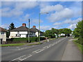
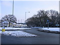
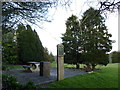
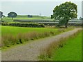
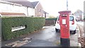
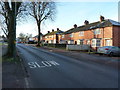
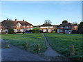
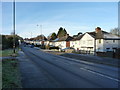
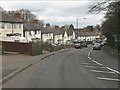
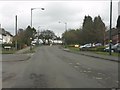
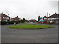
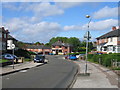
14 photos from this area
Area Information
Key information about the B45 0LB including its size, population, and administrative classification.
- Area Type
- Postcode
- Area Size
- 1.2 hectares
- Population
- 1221
- Population Density
- 5384 people/km²
House Prices in B45 0LB
30
Properties
£113,108
Average Sold Price
£40,000
Lowest Price
£185,000
Highest Price
Showing 30 properties
| Address | Type | Beds | Baths | Last Sale Price | Last Sale Date | |
|---|---|---|---|---|---|---|
| 179 Frogmill Road, Birmingham, B45 0LB | house | 3 | 1 | £185,000 | Jun 2025 | |
| 199 Frogmill Road, Birmingham, B45 0LB | Terraced | 2 | 1 | £165,000 | Feb 2025 | |
| 155 Frogmill Road, Birmingham, B45 0LB | house | - | - | £150,000 | Feb 2024 | |
| 209 Frogmill Road, Birmingham, B45 0LB | Semi-detached | 3 | 1 | £170,000 | Oct 2023 | |
| 167 Frogmill Road, Birmingham, B45 0LB | Terraced | 2 | 1 | £182,000 | May 2023 | |
| 147 Frogmill Road, Birmingham, B45 0LB | house | - | - | £145,000 | Sep 2021 | |
| 175 Frogmill Road, Birmingham, B45 0LB | Terraced | 3 | 1 | £158,000 | Jun 2021 | |
| 197 Frogmill Road, Birmingham, B45 0LB | Terraced | 2 | 1 | £131,000 | Feb 2020 | |
| 169 Frogmill Road, Birmingham, B45 0LB | Terraced | 2 | 1 | £125,000 | Mar 2019 | |
| 183 Frogmill Road, Birmingham, B45 0LB | Terraced | 3 | 1 | £129,950 | Aug 2018 |
Page 1 of 3
Energy Efficiency in B45 0LB
Amenities
Schools
| Rank | School | Type | Entry gender | Ages |
|---|
Explore more schools in this area
Go to Schools tabDemographics
Household Size
One person
most common
Accommodation Type
Houses
most common
Tenure
46
majority
Ethnic Group
White
most common
Religion
N/A
most common
Household Composition
N/A
most common
Age
47
median
Adults (30-64 years)
most common
Household Deprivation
N/A
with no deprivation
NS-SEC
17
in Lower managerial occupations
Explore more demographic insights in this area
Go to Demographics tabPlanning
Planning Constraints
- Flood RiskPremium
- Ramsar Wetland SitesPremium
- Area of Outstanding Natural BeautyPremium
- Protected Nature ReservePremium
- Protected WoodlandPremium