Area Overview for B45 0EG
Photos of B45 0EG
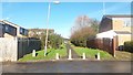
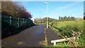
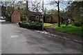
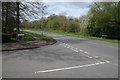
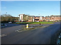
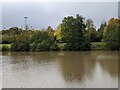
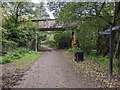
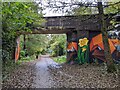
20 photos from this area
Area Information
Key information about the B45 0EG including its size, population, and administrative classification.
- Area Type
- Postcode
- Area Size
- 1.3 hectares
- Population
- 1448
- Population Density
- 8190 people/km²
House Prices in B45 0EG
43
Properties
£107,355
Average Sold Price
£48,000
Lowest Price
£175,000
Highest Price
Showing 43 properties
| Address | Type | Beds | Baths | Last Sale Price | Last Sale Date | |
|---|---|---|---|---|---|---|
| 11 Oberon Close, Birmingham, B45 0EG | Semi-detached | 3 | 2 | £175,000 | Oct 2023 | |
| 39 Oberon Close, Birmingham, B45 0EG | Maisonette | 1 | - | £77,000 | Oct 2022 | |
| 45 Oberon Close, Birmingham, B45 0EG | house | 2 | 1 | £147,000 | Apr 2021 | |
| 57 Oberon Close, Birmingham, B45 0EG | house | - | - | £149,950 | Mar 2021 | |
| 16 Oberon Close, Birmingham, B45 0EG | house | - | - | £108,000 | Mar 2017 | |
| 17 Oberon Close, Birmingham, B45 0EG | Terraced | 4 | 1 | £120,000 | Jan 2016 | |
| 49 Oberon Close, Birmingham, B45 0EG | Terraced | 2 | - | £93,000 | May 2015 | |
| 53 Oberon Close, Birmingham, B45 0EG | Terraced | 2 | 1 | £79,950 | Nov 2009 | |
| 20 Oberon Close, Birmingham, B45 0EG | house | - | - | £95,000 | Jan 2007 | |
| 15 Oberon Close, Birmingham, B45 0EG | Terraced | - | - | £88,000 | Jan 2005 |
Page 1 of 5
Energy Efficiency in B45 0EG
Amenities
Schools
| Rank | School | Type | Entry gender | Ages |
|---|
Explore more schools in this area
Go to Schools tabDemographics
Household Size
One person
most common
Accommodation Type
Houses
most common
Tenure
41
majority
Ethnic Group
White
most common
Religion
N/A
most common
Household Composition
N/A
most common
Age
47
median
Adults (30-64 years)
most common
Household Deprivation
N/A
with no deprivation
NS-SEC
16
in Lower managerial occupations
Explore more demographic insights in this area
Go to Demographics tabPlanning
Planning Constraints
- Flood RiskPremium
- Ramsar Wetland SitesPremium
- Area of Outstanding Natural BeautyPremium
- Protected Nature ReservePremium
- Protected WoodlandPremium