Area Overview for B45 0DT
Photos of B45 0DT

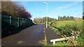
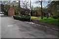
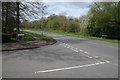
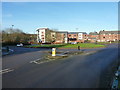
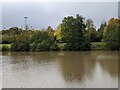
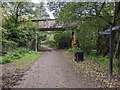
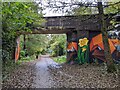
20 photos from this area
Area Information
Key information about the B45 0DT including its size, population, and administrative classification.
- Area Type
- Postcode
- Area Size
- 1.9 hectares
- Population
- 1221
- Population Density
- 5384 people/km²
House Prices in B45 0DT
24
Properties
£111,704
Average Sold Price
£37,000
Lowest Price
£229,000
Highest Price
Showing 24 properties
| Address | Type | Beds | Baths | Last Sale Price | Last Sale Date | |
|---|---|---|---|---|---|---|
| 25 Quantock Close, Birmingham, B45 0DT | Bungalow | 2 | 1 | £160,000 | Sep 2024 | |
| 7 Quantock Close, Birmingham, B45 0DT | Bungalow | - | - | £115,000 | Jul 2023 | |
| 27 Quantock Close, Birmingham, B45 0DT | Bungalow | - | - | £128,000 | Jun 2021 | |
| 23 Quantock Close, Birmingham, B45 0DT | Bungalow | 2 | 1 | £75,000 | Jan 2021 | |
| 9 Quantock Close, Birmingham, B45 0DT | Bungalow | 4 | 2 | £141,000 | Sep 2018 | |
| 29 Quantock Close, Birmingham, B45 0DT | Bungalow | 2 | 2 | £229,000 | Sep 2017 | |
| 4 Quantock Close, Birmingham, B45 0DT | Terraced | 3 | 1 | £90,000 | Jul 2015 | |
| 5 Quantock Close, Birmingham, B45 0DT | Terraced | 3 | 1 | £107,000 | Dec 2014 | |
| 20 Quantock Close, Birmingham, B45 0DT | house | - | - | £102,450 | Jul 2006 | |
| 17 Quantock Close, Birmingham, B45 0DT | Bungalow | - | - | £118,000 | Sep 2004 |
Page 1 of 3
Energy Efficiency in B45 0DT
Amenities
Schools
| Rank | School | Type | Entry gender | Ages |
|---|
Explore more schools in this area
Go to Schools tabDemographics
Household Size
One person
most common
Accommodation Type
Houses
most common
Tenure
46
majority
Ethnic Group
White
most common
Religion
N/A
most common
Household Composition
N/A
most common
Age
47
median
Adults (30-64 years)
most common
Household Deprivation
N/A
with no deprivation
NS-SEC
17
in Lower managerial occupations
Explore more demographic insights in this area
Go to Demographics tabPlanning
Planning Constraints
- Flood RiskPremium
- Ramsar Wetland SitesPremium
- Area of Outstanding Natural BeautyPremium
- Protected Nature ReservePremium
- Protected WoodlandPremium