Area Overview for B44 9EP
Photos of B44 9EP
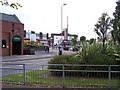
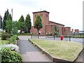
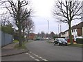
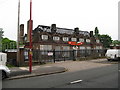
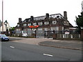
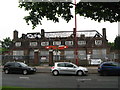
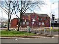
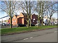
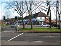
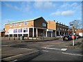
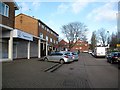
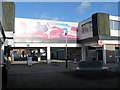
47 photos from this area
Area Information
Key information about the B44 9EP including its size, population, and administrative classification.
- Area Type
- Postcode
- Area Size
- 8914 m²
- Population
- 1408
- Population Density
- 6283 people/km²
House Prices in B44 9EP
25
Properties
£151,904
Average Sold Price
£49,000
Lowest Price
£250,000
Highest Price
Showing 25 properties
| Address | Type | Beds | Baths | Last Sale Price | Last Sale Date | |
|---|---|---|---|---|---|---|
| 134 Shady Lane, Birmingham, B44 9EP | Semi-detached | 3 | 1 | £232,000 | Feb 2025 | |
| 138 Shady Lane, Birmingham, B44 9EP | house | - | - | £243,000 | Aug 2022 | |
| 148 Shady Lane, Birmingham, B44 9EP | house | - | - | £164,400 | Aug 2021 | |
| 160 Shady Lane, Birmingham, B44 9EP | Semi-detached | 3 | - | £152,500 | Mar 2016 | |
| 168 Shady Lane, Birmingham, B44 9EP | Semi-detached | 3 | 1 | £120,000 | Dec 2014 | |
| 164 Shady Lane, Birmingham, B44 9EP | house | 3 | - | £105,000 | Jun 2011 | |
| 122 Shady Lane, Birmingham, B44 9EP | house | - | - | £250,000 | Mar 2008 | |
| 146 Shady Lane, Birmingham, B44 9EP | Terraced | - | - | £138,000 | Jan 2008 | |
| 136 Shady Lane, Birmingham, B44 9EP | Terraced | - | - | £142,000 | Oct 2006 | |
| 140 Shady Lane, Birmingham, B44 9EP | Semi-detached | 4 | 1 | £146,000 | Sep 2005 |
Page 1 of 3
Energy Efficiency in B44 9EP
Amenities
Schools
| Rank | School | Type | Entry gender | Ages |
|---|
Explore more schools in this area
Go to Schools tabDemographics
Household Size
Family (3-5 people)
most common
Accommodation Type
Houses
most common
Tenure
82
majority
Ethnic Group
White
most common
Religion
N/A
most common
Household Composition
N/A
most common
Age
47
median
Adults (30-64 years)
most common
Household Deprivation
N/A
with no deprivation
NS-SEC
25
in Lower managerial occupations
Explore more demographic insights in this area
Go to Demographics tabPlanning
Planning Constraints
- Flood RiskPremium
- Ramsar Wetland SitesPremium
- Area of Outstanding Natural BeautyPremium
- Protected Nature ReservePremium
- Protected WoodlandPremium