Area Overview for B44 8UN
Photos of B44 8UN
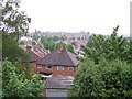
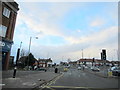
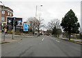


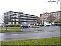
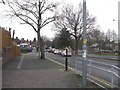
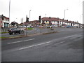
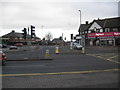
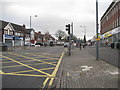
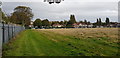
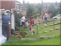
24 photos from this area
Area Information
Key information about the B44 8UN including its size, population, and administrative classification.
- Area Type
- Postcode
- Area Size
- 9554 m²
- Population
- 1659
- Population Density
- 6070 people/km²
House Prices in B44 8UN
36
Properties
£118,304
Average Sold Price
£42,000
Lowest Price
£206,000
Highest Price
Showing 36 properties
| Address | Type | Beds | Baths | Last Sale Price | Last Sale Date | |
|---|---|---|---|---|---|---|
| 119 Birkenshaw Road, Birmingham, B44 8UN | Terraced | 3 | 1 | £190,000 | May 2025 | |
| 137 Birkenshaw Road, Birmingham, B44 8UN | Semi-detached | 2 | 1 | £175,000 | Apr 2024 | |
| 121 Birkenshaw Road, Birmingham, B44 8UN | Terraced | 2 | - | £165,000 | Mar 2022 | |
| 149 Birkenshaw Road, Birmingham, B44 8UN | house | - | - | £206,000 | Dec 2021 | |
| 127 Birkenshaw Road, Birmingham, B44 8UN | Semi-detached | 2 | 1 | £150,000 | Aug 2021 | |
| 161 Birkenshaw Road, Birmingham, B44 8UN | Terraced | 3 | 1 | £183,000 | Mar 2021 | |
| 177 Birkenshaw Road, Birmingham, B44 8UN | Terraced | 3 | 1 | £170,000 | Sep 2019 | |
| 147 Birkenshaw Road, Birmingham, B44 8UN | house | 3 | - | £140,000 | Aug 2018 | |
| 151 Birkenshaw Road, Birmingham, B44 8UN | Terraced | 3 | 1 | £146,350 | Sep 2017 | |
| 115 Birkenshaw Road, Birmingham, B44 8UN | house | 3 | - | £89,500 | Mar 2015 |
Page 1 of 4
Energy Efficiency in B44 8UN
Amenities
Schools
| Rank | School | Type | Entry gender | Ages |
|---|
Explore more schools in this area
Go to Schools tabDemographics
Household Size
Family (3-5 people)
most common
Accommodation Type
Houses
most common
Tenure
73
majority
Ethnic Group
White
most common
Religion
N/A
most common
Household Composition
N/A
most common
Age
47
median
Adults (30-64 years)
most common
Household Deprivation
N/A
with no deprivation
NS-SEC
22
in Lower managerial occupations
Explore more demographic insights in this area
Go to Demographics tabPlanning
Planning Constraints
- Flood RiskPremium
- Ramsar Wetland SitesPremium
- Area of Outstanding Natural BeautyPremium
- Protected Nature ReservePremium
- Protected WoodlandPremium