Area Overview for B44 8UE
Photos of B44 8UE
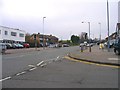

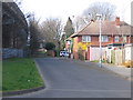
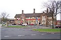
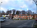
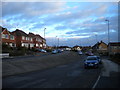
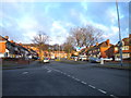
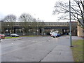
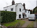
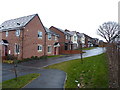

18 photos from this area
Area Information
Key information about the B44 8UE including its size, population, and administrative classification.
- Area Type
- Postcode
- Area Size
- 1.2 hectares
- Population
- 1558
- Population Density
- 6398 people/km²
House Prices in B44 8UE
19
Properties
£129,579
Average Sold Price
£75,000
Lowest Price
£187,000
Highest Price
Showing 19 properties
| Address | Type | Beds | Baths | Last Sale Price | Last Sale Date | |
|---|---|---|---|---|---|---|
| 115 Glenmead Road, Birmingham, B44 8UE | Semi-detached | 3 | 2 | £187,000 | Aug 2023 | |
| 109 Glenmead Road, Birmingham, B44 8UE | house | - | - | £150,000 | Aug 2022 | |
| 121 Glenmead Road, Birmingham, B44 8UE | Semi-detached | 3 | - | £145,000 | Sep 2016 | |
| 127 Glenmead Road, Birmingham, B44 8UE | Terraced | 3 | - | £148,500 | Sep 2016 | |
| 125 Glenmead Road, Birmingham, B44 8UE | house | - | - | £114,000 | Feb 2015 | |
| 107 Glenmead Road, Birmingham, B44 8UE | house | - | - | £140,000 | Aug 2013 | |
| 117 Glenmead Road, Birmingham, B44 8UE | house | 3 | 1 | £144,950 | Jun 2013 | |
| 119 Glenmead Road, Birmingham, B44 8UE | Semi-detached | 3 | 2 | £101,000 | Mar 2013 | |
| 93 Glenmead Road, Birmingham, B44 8UE | Semi-detached | - | - | £126,500 | Jun 2007 | |
| 101 Glenmead Road, Birmingham, B44 8UE | Semi-detached | 3 | 1 | £133,000 | Aug 2005 |
Page 1 of 2
Energy Efficiency in B44 8UE
Amenities
Schools
| Rank | School | Type | Entry gender | Ages |
|---|
Explore more schools in this area
Go to Schools tabDemographics
Household Size
Family (3-5 people)
most common
Accommodation Type
Houses
most common
Tenure
74
majority
Ethnic Group
White
most common
Religion
N/A
most common
Household Composition
N/A
most common
Age
47
median
Adults (30-64 years)
most common
Household Deprivation
N/A
with no deprivation
NS-SEC
26
in Lower managerial occupations
Explore more demographic insights in this area
Go to Demographics tabPlanning
Planning Constraints
- Flood RiskPremium
- Ramsar Wetland SitesPremium
- Area of Outstanding Natural BeautyPremium
- Protected Nature ReservePremium
- Protected WoodlandPremium