Area Overview for B44 8TT
Photos of B44 8TT
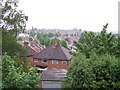
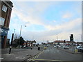
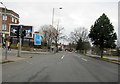


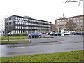
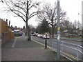
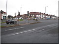
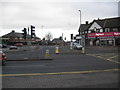
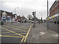

24 photos from this area
Area Information
Key information about the B44 8TT including its size, population, and administrative classification.
- Area Type
- Postcode
- Area Size
- 3853 m²
- Population
- 1558
- Population Density
- 6398 people/km²
House Prices in B44 8TT
12
Properties
£91,600
Average Sold Price
£39,500
Lowest Price
£182,000
Highest Price
Showing 12 properties
| Address | Type | Beds | Baths | Last Sale Price | Last Sale Date | |
|---|---|---|---|---|---|---|
| 57 Old Oscott Lane, Birmingham, B44 8TT | house | - | - | £182,000 | Dec 2024 | |
| 49 Old Oscott Lane, Birmingham, B44 8TT | house | 3 | - | £135,000 | Jul 2019 | |
| 59 Old Oscott Lane, Birmingham, B44 8TT | Detached | 2 | 1 | £122,500 | Jun 2017 | |
| 51 Old Oscott Lane, Birmingham, B44 8TT | Terraced | 2 | - | £108,000 | Aug 2014 | |
| 63 Old Oscott Lane, Birmingham, B44 8TT | house | - | - | £115,000 | Nov 2004 | |
| 43 Old Oscott Lane, Birmingham, B44 8TT | Detached | 4 | 3 | £75,000 | Jan 2001 | |
| 61 Old Oscott Lane, Birmingham, B44 8TT | house | - | - | £46,000 | Oct 1999 | |
| 65 Old Oscott Lane, Birmingham, B44 8TT | Semi-detached | - | - | £49,000 | Sep 1999 | |
| 53 Old Oscott Lane, Birmingham, B44 8TT | Semi-detached | - | - | £39,500 | Feb 1999 | |
| 55 Old Oscott Lane, Birmingham, B44 8TT | Terraced | - | - | £44,000 | Oct 1997 |
Page 1 of 2
Energy Efficiency in B44 8TT
Amenities
Schools
| Rank | School | Type | Entry gender | Ages |
|---|
Explore more schools in this area
Go to Schools tabDemographics
Household Size
Family (3-5 people)
most common
Accommodation Type
Houses
most common
Tenure
74
majority
Ethnic Group
White
most common
Religion
N/A
most common
Household Composition
N/A
most common
Age
47
median
Adults (30-64 years)
most common
Household Deprivation
N/A
with no deprivation
NS-SEC
26
in Lower managerial occupations
Explore more demographic insights in this area
Go to Demographics tabPlanning
Planning Constraints
- Flood RiskPremium
- Ramsar Wetland SitesPremium
- Area of Outstanding Natural BeautyPremium
- Protected Nature ReservePremium
- Protected WoodlandPremium