Area Overview for B44 0QS
Photos of B44 0QS
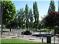
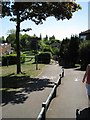
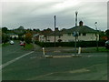
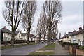
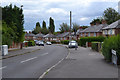
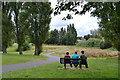
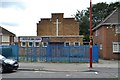
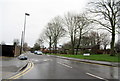
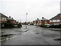
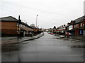
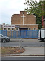
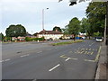
38 photos from this area
Area Information
Key information about the B44 0QS including its size, population, and administrative classification.
- Area Type
- Postcode
- Area Size
- 1.6 hectares
- Population
- 1485
- Population Density
- 7623 people/km²
House Prices in B44 0QS
39
Properties
£110,445
Average Sold Price
£24,110
Lowest Price
£210,000
Highest Price
Showing 39 properties
| Address | Type | Beds | Baths | Last Sale Price | Last Sale Date | |
|---|---|---|---|---|---|---|
| 112 Danesbury Crescent, Birmingham, B44 0QS | Semi-detached | 3 | - | £24,110 | Oct 2024 | |
| 59 Danesbury Crescent, Birmingham, B44 0QS | Terraced | 3 | 1 | £184,500 | Mar 2024 | |
| 74 Danesbury Crescent, Birmingham, B44 0QS | house | - | - | £169,400 | Jul 2022 | |
| 86 Danesbury Crescent, Birmingham, B44 0QS | Terraced | 3 | 1 | £210,000 | Jul 2022 | |
| 65 Danesbury Crescent, Birmingham, B44 0QS | Detached | 3 | 1 | £180,000 | Mar 2022 | |
| 102 Danesbury Crescent, Birmingham, B44 0QS | house | - | - | £152,000 | Sep 2020 | |
| 82 Danesbury Crescent, Birmingham, B44 0QS | Semi-detached | 3 | 1 | £150,000 | Apr 2020 | |
| 61 Danesbury Crescent, Birmingham, B44 0QS | house | - | - | £101,000 | Sep 2019 | |
| 120 Danesbury Crescent, Birmingham, B44 0QS | Semi-detached | 3 | 1 | £131,000 | Mar 2018 | |
| 100 Danesbury Crescent, Birmingham, B44 0QS | house | 3 | 1 | £107,000 | Sep 2017 |
Page 1 of 4
Energy Efficiency in B44 0QS
Amenities
Schools
| Rank | School | Type | Entry gender | Ages |
|---|
Explore more schools in this area
Go to Schools tabDemographics
Household Size
Family (3-5 people)
most common
Accommodation Type
Houses
most common
Tenure
46
majority
Ethnic Group
White
most common
Religion
N/A
most common
Household Composition
N/A
most common
Age
47
median
Adults (30-64 years)
most common
Household Deprivation
N/A
with no deprivation
NS-SEC
13
in Lower managerial occupations
Explore more demographic insights in this area
Go to Demographics tabPlanning
Planning Constraints
- Flood RiskPremium
- Ramsar Wetland SitesPremium
- Area of Outstanding Natural BeautyPremium
- Protected Nature ReservePremium
- Protected WoodlandPremium