Area Overview for B44 0PD
Photos of B44 0PD
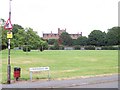
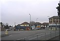
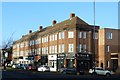
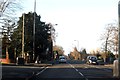
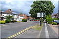
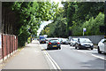
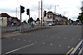
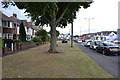
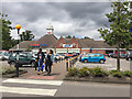
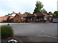
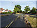
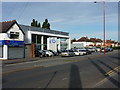
36 photos from this area
Area Information
Key information about the B44 0PD including its size, population, and administrative classification.
- Area Type
- Postcode
- Area Size
- 1.7 hectares
- Population
- 1547
- Population Density
- 6101 people/km²
House Prices in B44 0PD
56
Properties
£112,159
Average Sold Price
£24,000
Lowest Price
£205,200
Highest Price
Showing 56 properties
| Address | Type | Beds | Baths | Last Sale Price | Last Sale Date | |
|---|---|---|---|---|---|---|
| 88 Parkeston Crescent, Birmingham, B44 0PD | Terraced | 3 | 1 | £192,000 | Feb 2025 | |
| 80 Parkeston Crescent, Birmingham, B44 0PD | house | - | - | £127,500 | Dec 2024 | |
| 54 Parkeston Crescent, Birmingham, B44 0PD | house | 3 | 1 | £192,500 | Dec 2024 | |
| 87 Parkeston Crescent, Birmingham, B44 0PD | Semi-detached | 3 | 1 | £205,200 | Aug 2024 | |
| 69 Parkeston Crescent, Birmingham, B44 0PD | house | - | - | £175,000 | Jan 2024 | |
| 107 Parkeston Crescent, Birmingham, B44 0PD | Terraced | 2 | 1 | £183,000 | Nov 2023 | |
| 62 Parkeston Crescent, Birmingham, B44 0PD | Semi-detached | 3 | 1 | £186,000 | Jul 2023 | |
| 53 Parkeston Crescent, Birmingham, B44 0PD | house | 3 | 1 | £180,000 | Oct 2022 | |
| 95 Parkeston Crescent, Birmingham, B44 0PD | house | - | - | £177,000 | Feb 2022 | |
| 79 Parkeston Crescent, Birmingham, B44 0PD | house | - | - | £197,000 | Dec 2021 |
Page 1 of 6
Energy Efficiency in B44 0PD
Amenities
Schools
| Rank | School | Type | Entry gender | Ages |
|---|
Explore more schools in this area
Go to Schools tabDemographics
Household Size
Family (3-5 people)
most common
Accommodation Type
Houses
most common
Tenure
51
majority
Ethnic Group
White
most common
Religion
N/A
most common
Household Composition
N/A
most common
Age
47
median
Adults (30-64 years)
most common
Household Deprivation
N/A
with no deprivation
NS-SEC
16
in Lower managerial occupations
Explore more demographic insights in this area
Go to Demographics tabPlanning
Planning Constraints
- Flood RiskPremium
- Ramsar Wetland SitesPremium
- Area of Outstanding Natural BeautyPremium
- Protected Nature ReservePremium
- Protected WoodlandPremium