Area Overview for B44 0ND
Photos of B44 0ND
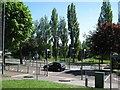
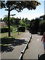
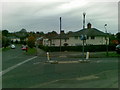
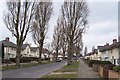
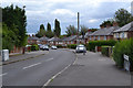
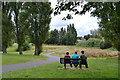
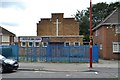
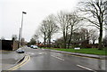
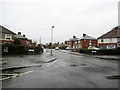
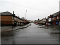
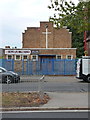
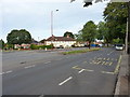
38 photos from this area
Area Information
Key information about the B44 0ND including its size, population, and administrative classification.
- Area Type
- Postcode
- Area Size
- 8772 m²
- Population
- 1471
- Population Density
- 7763 people/km²
House Prices in B44 0ND
29
Properties
£118,366
Average Sold Price
£50,000
Lowest Price
£240,000
Highest Price
Showing 29 properties
| Address | Type | Beds | Baths | Last Sale Price | Last Sale Date | |
|---|---|---|---|---|---|---|
| 9 Firbeck Grove, Birmingham, B44 0ND | Terraced | 3 | 2 | £240,000 | Nov 2025 | |
| 6 Firbeck Grove, Birmingham, B44 0ND | Semi-detached | 3 | 1 | £150,000 | Nov 2024 | |
| 27 Firbeck Grove, Birmingham, B44 0ND | Semi-detached | - | - | £115,000 | Nov 2019 | |
| 18 Firbeck Grove, Birmingham, B44 0ND | Terraced | 3 | 1 | £143,500 | Sep 2018 | |
| 28 Firbeck Grove, Birmingham, B44 0ND | house | - | - | £118,800 | Aug 2018 | |
| 15 Firbeck Grove, Birmingham, B44 0ND | house | - | - | £65,000 | Feb 2009 | |
| 10 Firbeck Grove, Birmingham, B44 0ND | house | 3 | - | £114,995 | Dec 2006 | |
| 26 Firbeck Grove, Birmingham, B44 0ND | house | - | - | £68,000 | Jul 2006 | |
| 19 Firbeck Grove, Birmingham, B44 0ND | Semi-detached | - | - | £50,000 | Jan 2006 | |
| 20 Firbeck Grove, Birmingham, B44 0ND | Terraced | - | - | - | - |
Page 1 of 3
Energy Efficiency in B44 0ND
Amenities
Schools
| Rank | School | Type | Entry gender | Ages |
|---|
Explore more schools in this area
Go to Schools tabDemographics
Household Size
Family (3-5 people)
most common
Accommodation Type
Houses
most common
Tenure
53
majority
Ethnic Group
White
most common
Religion
N/A
most common
Household Composition
N/A
most common
Age
47
median
Adults (30-64 years)
most common
Household Deprivation
N/A
with no deprivation
NS-SEC
13
in Lower managerial occupations
Explore more demographic insights in this area
Go to Demographics tabPlanning
Planning Constraints
- Flood RiskPremium
- Ramsar Wetland SitesPremium
- Area of Outstanding Natural BeautyPremium
- Protected Nature ReservePremium
- Protected WoodlandPremium