Area Overview for B44 0LE
Photos of B44 0LE
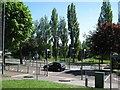
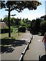
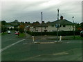
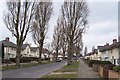
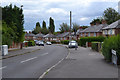
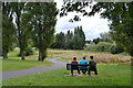
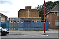
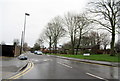
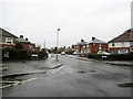
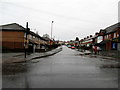
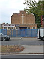
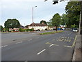
38 photos from this area
Area Information
Key information about the B44 0LE including its size, population, and administrative classification.
- Area Type
- Postcode
- Area Size
- 1.3 hectares
- Population
- 1504
- Population Density
- 6989 people/km²
House Prices in B44 0LE
32
Properties
£105,727
Average Sold Price
£70,000
Lowest Price
£196,000
Highest Price
Showing 32 properties
| Address | Type | Beds | Baths | Last Sale Price | Last Sale Date | |
|---|---|---|---|---|---|---|
| 94 Landswood Close, Birmingham, B44 0LE | Detached | 4 | 1 | £196,000 | Sep 2025 | |
| 58 Landswood Close, Birmingham, B44 0LE | Bungalow | 3 | 1 | £135,000 | May 2023 | |
| 80 Landswood Close, Birmingham, B44 0LE | Bungalow | 3 | 1 | £108,500 | Aug 2019 | |
| 54 Landswood Close, Birmingham, B44 0LE | Bungalow | - | - | £105,000 | Feb 2019 | |
| 86 Landswood Close, Birmingham, B44 0LE | house | 4 | - | £83,000 | Aug 2012 | |
| 114 Landswood Close, Birmingham, B44 0LE | Bungalow | - | - | £97,500 | Nov 2007 | |
| 84 Landswood Close, Birmingham, B44 0LE | Terraced | - | - | £70,000 | Aug 2007 | |
| 106 Landswood Close, Birmingham, B44 0LE | Terraced | - | - | £85,000 | Mar 2007 | |
| 70 Landswood Close, Birmingham, B44 0LE | house | - | - | £99,000 | Aug 2006 | |
| 66 Landswood Close, Birmingham, B44 0LE | Terraced | - | - | £85,000 | Dec 2005 |
Page 1 of 4
Energy Efficiency in B44 0LE
Amenities
Schools
| Rank | School | Type | Entry gender | Ages |
|---|
Explore more schools in this area
Go to Schools tabDemographics
Household Size
Family (3-5 people)
most common
Accommodation Type
Houses
most common
Tenure
46
majority
Ethnic Group
White
most common
Religion
N/A
most common
Household Composition
N/A
most common
Age
47
median
Adults (30-64 years)
most common
Household Deprivation
N/A
with no deprivation
NS-SEC
16
in Lower managerial occupations
Explore more demographic insights in this area
Go to Demographics tabPlanning
Planning Constraints
- Flood RiskPremium
- Ramsar Wetland SitesPremium
- Area of Outstanding Natural BeautyPremium
- Protected Nature ReservePremium
- Protected WoodlandPremium