Area Overview for B43 7LP
Photos of B43 7LP

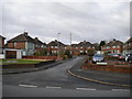
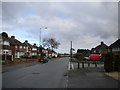

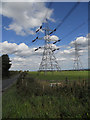
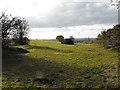
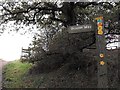
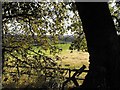

24 photos from this area
Area Information
Key information about the B43 7LP including its size, population, and administrative classification.
- Area Type
- Postcode
- Area Size
- 1.6 hectares
- Population
- 1480
- Population Density
- 321 people/km²
House Prices in B43 7LP
22
Properties
£200,417
Average Sold Price
£117,500
Lowest Price
£310,000
Highest Price
Showing 22 properties
| Address | Type | Beds | Baths | Last Sale Price | Last Sale Date | |
|---|---|---|---|---|---|---|
| 116 Pomeroy Road, Great Barr, B43 7LP | Semi-detached | 3 | 1 | £265,000 | Dec 2023 | |
| 126 Pomeroy Road, Great Barr, B43 7LP | Retail | 4 | 1 | £310,000 | Apr 2022 | |
| 99 Pomeroy Road, Great Barr, B43 7LP | house | - | - | £165,000 | May 2019 | |
| 111 Pomeroy Road, Great Barr, B43 7LP | house | - | - | £214,750 | Apr 2018 | |
| 120 Pomeroy Road, Great Barr, B43 7LP | Semi-detached | 4 | 2 | £285,000 | Apr 2018 | |
| 101 Pomeroy Road, Great Barr, B43 7LP | house | - | - | £136,000 | May 2015 | |
| 134 Pomeroy Road, Great Barr, B43 7LP | Semi-detached | 3 | - | £125,000 | Feb 2013 | |
| 122 Pomeroy Road, Great Barr, B43 7LP | Semi-detached | - | - | £185,500 | May 2005 | |
| 113 Pomeroy Road, Great Barr, B43 7LP | house | - | - | £117,500 | Jun 2002 | |
| 140 Pomeroy Road, Great Barr, B43 7LP | Semi-detached | 4 | 3 | - | - |
Page 1 of 3
Energy Efficiency in B43 7LP
Amenities
Schools
| Rank | School | Type | Entry gender | Ages |
|---|
Explore more schools in this area
Go to Schools tabDemographics
Household Size
Family (3-5 people)
most common
Accommodation Type
Houses
most common
Tenure
89
majority
Ethnic Group
White
most common
Religion
N/A
most common
Household Composition
N/A
most common
Age
47
median
Adults (30-64 years)
most common
Household Deprivation
N/A
with no deprivation
NS-SEC
27
in Lower managerial occupations
Explore more demographic insights in this area
Go to Demographics tabPlanning
Planning Constraints
- Flood RiskPremium
- Ramsar Wetland SitesPremium
- Area of Outstanding Natural BeautyPremium
- Protected Nature ReservePremium
- Protected WoodlandPremium