Area Overview for B43 6WR
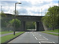
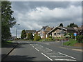
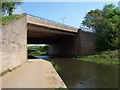
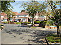
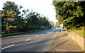
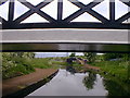
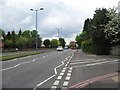
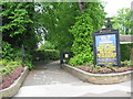
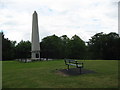
Photos of B43 6WR

Area Information
B43 6WR is a small, densely populated postcode area in England, home to 1,535 residents spread across a compact residential cluster. Its high population density of 1,332 people per square kilometre reflects a tightly knit community, typical of urban or semi-urban settings. Nestled within the Charlemont with Grove Vale ward, this area blends historical charm with modern living. The neighbourhood includes established communities such as Charlemont Farm, Bustleholme Mill, and Grove Vale, with historical landmarks like All Saints Church, a Grade II listed Norman structure. Daily life here is shaped by proximity to local amenities, schools, and transport links. The area’s compact size means residents can access shops, schools, and public transport within short distances. While the population skews older, with a median age of 47, the community remains active, supported by a mix of retail and transport options. Living in B43 6WR offers a balance of convenience and local character, though its small size means it is best suited for those prioritising proximity to services over expansive open spaces.
- Area Type
- Postcode
- Area Size
- Not available
- Population
- 1535
- Population Density
- 1332 people/km²
B43 6WR is predominantly an owner-occupied area, with 77% of homes owned by residents rather than rented. The accommodation type here is primarily houses, which contrasts with areas dominated by flats or apartments. This suggests a market skewed towards family homes and long-term residency rather than short-term rental properties. The small size of the postcode area means the housing stock is limited, potentially making it a competitive market for buyers. The high home ownership rate may indicate strong community ties and property values that have held steady over time. For prospective buyers, the focus on houses could appeal to those seeking traditional living spaces, though the area’s density may mean properties are smaller compared to suburban settings. Buyers should consider the proximity to amenities and transport when evaluating properties, as these are key factors in the area’s appeal.
House Prices in B43 6WR
No properties found in this postcode.
Energy Efficiency in B43 6WR
The lifestyle in B43 6WR is shaped by its proximity to retail, transport, and historical sites. Local shops include Co-op Birmingham, Aldi Great, and Iceland Great, offering everyday essentials within walking distance. The area’s rail and metro connections provide easy access to nearby towns and cities, supporting both commuting and leisure activities. Historically, the neighbourhood includes All Saints Church, a Grade II listed Norman structure, adding cultural and architectural interest. While the data does not mention parks or leisure facilities, the compact nature of the area suggests that residents rely on nearby towns for larger amenities. The mix of retail, transport, and heritage sites contributes to a convenient, community-focused lifestyle, though the small size may limit options for those seeking expansive recreational spaces.
Amenities
Schools
Residents of B43 6WR have access to a range of educational institutions, including Grove Vale Primary School, which holds an Ofsted rating of outstanding. This school, along with Dartmouth High School (a primary school without a specified rating) and Q3 Academy Great Barr (an academy with a good Ofsted rating), provides a mix of primary and academy options. The presence of both traditional and academy schools offers families flexibility in choosing educational environments. Grove Vale Primary’s outstanding rating suggests high-quality teaching and facilities, which could be a significant draw for families prioritising academic standards. The combination of school types may also reflect varying approaches to education, from state-run institutions to academies with distinct curricula. For parents, the availability of multiple schools within reach reduces the need for long commutes, enhancing the area’s appeal as a family-friendly location.
| Rank | School | Type | Entry gender | Ages |
|---|
Explore more schools in this area
Go to Schools tabDemographics
The population of B43 6WR is predominantly adults aged 30–64, with a median age of 47. This suggests a community of established professionals and families, many of whom are homeowners. Home ownership here is high at 77%, indicating a stable, long-term resident base. The area is characterised by houses rather than flats or apartments, reflecting a preference for traditional family homes. The predominant ethnic group is White, though specific diversity statistics are not provided. The age profile and home ownership rates suggest a mature, settled community with limited turnover. While the data does not include deprivation metrics, the high home ownership and presence of schools imply a relatively stable socioeconomic environment. For buyers, this demographic profile may indicate a neighbourhood with low rental demand and a focus on owner-occupation, though the compact size could limit opportunities for larger families.
Household Size
Accommodation Type
Tenure
Ethnic Group
Religion
Household Composition
Age
Household Deprivation
NS-SEC
Explore more demographic insights in this area
Go to Demographics tabPlanning
Planning Constraints
- Flood RiskPremium
- Ramsar Wetland SitesPremium
- Area of Outstanding Natural BeautyPremium
- Protected Nature ReservePremium
- Protected WoodlandPremium