Area Overview for B43 5EH
Photos of B43 5EH

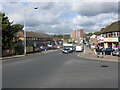
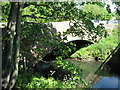
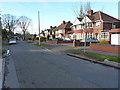
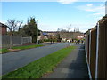
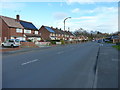
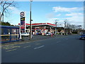
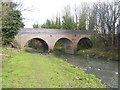
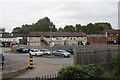
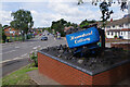
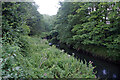
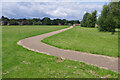
28 photos from this area
Area Information
Key information about the B43 5EH including its size, population, and administrative classification.
- Area Type
- Postcode
- Area Size
- 1.5 hectares
- Population
- 1485
- Population Density
- 7177 people/km²
House Prices in B43 5EH
38
Properties
£127,585
Average Sold Price
£43,500
Lowest Price
£279,000
Highest Price
Showing 38 properties
| Address | Type | Beds | Baths | Last Sale Price | Last Sale Date | |
|---|---|---|---|---|---|---|
| 338 Hamstead Road, Great Barr, Birmingham, B43 5EH | Terraced | 3 | 1 | £229,000 | Jun 2024 | |
| 314 Hamstead Road, Great Barr, Birmingham, B43 5EH | Terraced | 4 | 1 | £279,000 | Jun 2022 | |
| 380 Hamstead Road, Great Barr, Birmingham, B43 5EH | Retail | 3 | 2 | £207,000 | Feb 2022 | |
| 368 Hamstead Road, Great Barr, Birmingham, B43 5EH | Detached | 4 | 2 | £163,000 | Oct 2020 | |
| 346 Hamstead Road, Great Barr, Birmingham, B43 5EH | Terraced | 4 | 1 | £165,000 | Dec 2019 | |
| 360 Hamstead Road, Great Barr, Birmingham, B43 5EH | house | - | - | £129,550 | Jan 2017 | |
| 344 Hamstead Road, Great Barr, Birmingham, B43 5EH | house | 3 | - | £113,500 | Aug 2013 | |
| 316 Hamstead Road, Great Barr, Birmingham, B43 5EH | house | 3 | - | £105,000 | Feb 2012 | |
| 328 Hamstead Road, Great Barr, Birmingham, B43 5EH | house | - | - | £160,000 | Sep 2011 | |
| 336 Hamstead Road, Great Barr, Birmingham, B43 5EH | Terraced | 3 | 1 | £114,950 | Aug 2011 |
Page 1 of 4
Energy Efficiency in B43 5EH
Amenities
Schools
| Rank | School | Type | Entry gender | Ages |
|---|
Explore more schools in this area
Go to Schools tabDemographics
Household Size
One person
most common
Accommodation Type
Houses
most common
Tenure
40
majority
Ethnic Group
White
most common
Religion
N/A
most common
Household Composition
N/A
most common
Age
47
median
Adults (30-64 years)
most common
Household Deprivation
N/A
with no deprivation
NS-SEC
19
in Lower managerial occupations
Explore more demographic insights in this area
Go to Demographics tabPlanning
Planning Constraints
- Flood RiskPremium
- Ramsar Wetland SitesPremium
- Area of Outstanding Natural BeautyPremium
- Protected Nature ReservePremium
- Protected WoodlandPremium