Area Overview for B42 2EZ
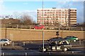
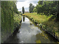
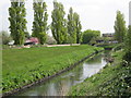
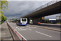
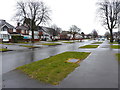
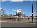
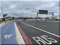
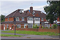
Photos of B42 2EZ
Area Information
B42 2EZ is a small residential postcode area in north Birmingham, part of the historically rich suburb of Perry Barr. With a population of 1,474 and a density of 568 people per square kilometre, it reflects a compact, closely knit community. The area’s name traces back to ancient manors recorded in the Domesday Book, blending historical roots with modern living. Residents benefit from proximity to key amenities, including schools rated outstanding and good by Ofsted, and multiple rail and metro stations. The area’s character is defined by its suburban layout, with a mix of houses and a mature population profile. While it lacks large-scale urban features, its accessibility to Birmingham’s core and surrounding transport networks makes it a practical choice for those seeking a balance between quiet living and connectivity. The presence of local landmarks, such as the former Odeon cinema and Birmingham Crematorium, adds a layer of historical interest. For buyers, B42 2EZ offers a manageable, well-defined space with a clear sense of community, though its small size means limited housing options.
- Area Type
- Postcode
- Area Size
- Not available
- Population
- 1474
- Population Density
- 568 people/km²
B42 2EZ is a small area with a housing stock predominantly consisting of houses, reflecting its suburban nature. With a home ownership rate of 39%, the market is not heavily skewed toward rental properties, though the limited size of the postcode suggests a constrained selection of homes. The presence of houses implies a focus on family-oriented living, though the low percentage of owner-occupiers may indicate a reliance on private rentals or shared ownership models. For buyers, the area’s compact size means competition for available properties, particularly given its proximity to Birmingham’s transport networks. The lack of high-rise or apartment blocks aligns with the data’s emphasis on houses. Prospective buyers should consider the limited scope for expansion in the immediate vicinity, as the area’s small footprint may restrict options for larger properties or developments.
House Prices in B42 2EZ
No properties found in this postcode.
Energy Efficiency in B42 2EZ
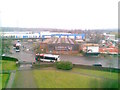
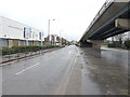
The lifestyle in B42 2EZ is shaped by its proximity to essential amenities. Residents can access five retail outlets, including Asda Perry, Iceland Perry, and M&S Perry, ensuring convenience for grocery and household needs. The area’s transport links are equally vital, with five rail stations and three metro stops facilitating easy travel to Birmingham’s commercial and cultural hubs. While the data does not detail parks or leisure facilities, the historical presence of landmarks like the Birmingham Crematorium and the former Perry Barr Stadium hints at a mix of practical and heritage-focused spaces. The area’s small size means amenities are clustered closely, promoting a walkable, community-oriented lifestyle. For those prioritising accessibility, the balance of retail, transport, and historical sites offers a practical yet characterful environment.
Amenities
Schools
Residents of B42 2EZ have access to two notable schools. Eden Boys’ School, Birmingham is an academy with an outstanding Ofsted rating, offering high-quality education for boys. Nearby, Prince Albert High School is also an academy, though it holds a good Ofsted rating. Both institutions reflect the area’s commitment to education, with a mix of school types providing families with choices. The presence of an outstanding-rated school suggests strong academic provision, while the good-rated school offers a reliable alternative. These schools are likely to attract families prioritising educational standards, though the data does not specify catchment areas or student numbers. The combination of academy schools indicates a focus on independent governance and potentially tailored curricula, which may appeal to parents seeking structured, high-performing institutions.
| Rank | School | Type | Entry gender | Ages |
|---|
Explore more schools in this area
Go to Schools tabDemographics
The population of B42 2EZ has a median age of 47, with the majority of residents aged between 30 and 64. This suggests a mature, stable community, likely with families and professionals in their prime working years. Home ownership accounts for 39% of households, indicating a mix of owner-occupied properties and rental units. The predominant accommodation type is houses, which aligns with the area’s suburban character. The predominant ethnic group is White, reflecting broader demographic patterns in the West Midlands. While specific data on deprivation is not provided, the relatively high proportion of adults in the 30-64 age range may imply a workforce-oriented community with established careers. The absence of detailed diversity metrics means the area’s cultural composition remains less defined in the data, though its historical ties to Birmingham suggest a long-standing local identity.
Household Size
Accommodation Type
Tenure
Ethnic Group
Religion
Household Composition
Age
Household Deprivation
NS-SEC
Explore more demographic insights in this area
Go to Demographics tabPlanning
Planning Constraints
- Flood RiskPremium
- Ramsar Wetland SitesPremium
- Area of Outstanding Natural BeautyPremium
- Protected Nature ReservePremium
- Protected WoodlandPremium