Area Overview for B4 6AR
Photos of B4 6AR
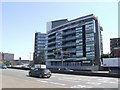
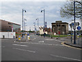
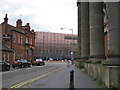
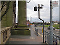
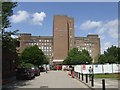
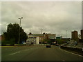
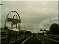
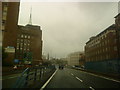
100 photos from this area
Area Information
Key information about the B4 6AR including its size, population, and administrative classification.
- Area Type
- Postcode
- Area Size
- 2.2 hectares
- Population
- 5671
- Population Density
- 13369 people/km²
House Prices in B4 6AR
4
Properties
-
Average Sold Price
-
Lowest Price
-
Highest Price
Showing 4 properties
| Address | Type | Beds | Baths | Last Sale Price | Last Sale Date | |
|---|---|---|---|---|---|---|
| Fifth To Seventh Floors North And East Wings, Wesleyan Assurance Society, Colmore Circus Queensway, Birmingham, B4 6AR | Office | - | - | - | - | |
| Pinsent And Co, Basement To Eighth Floors South And West Wings, Wesleyan Assurance Society, Colmore Circus Queensway, Birmingham, B4 6AR | office_workshop | - | - | - | - | |
| 1 Colmore Circus Queensway, Birmingham, B4 6AR | Retail | - | - | - | - | |
| Pinsent And Company, Second Floor, South And West Wings The Wesleyan, Colmore Circus Queensway, Birmingham, B4 6AR | office_workshop | - | - | - | - |
Energy Efficiency in B4 6AR
Amenities
Schools
| Rank | School | Type | Entry gender | Ages |
|---|
Explore more schools in this area
Go to Schools tabDemographics
Household Size
One person
most common
Accommodation Type
Flats
most common
Tenure
3
majority
Ethnic Group
White
most common
Religion
N/A
most common
Household Composition
N/A
most common
Age
22
median
Young Adults (15-29 years)
most common
Household Deprivation
N/A
with no deprivation
NS-SEC
9
in Lower managerial occupations
Explore more demographic insights in this area
Go to Demographics tabPlanning
Planning Constraints
- Flood RiskPremium
- Ramsar Wetland SitesPremium
- Area of Outstanding Natural BeautyPremium
- Protected Nature ReservePremium
- Protected WoodlandPremium