Area Overview for B38 9UP
Photos of B38 9UP
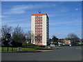
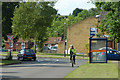
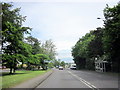
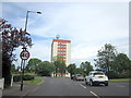
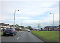

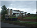

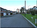
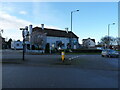


22 photos from this area
Area Information
Key information about the B38 9UP including its size, population, and administrative classification.
- Area Type
- Postcode
- Area Size
- 1.7 hectares
- Population
- 1424
- Population Density
- 4211 people/km²
House Prices in B38 9UP
58
Properties
£119,679
Average Sold Price
£42,000
Lowest Price
£203,000
Highest Price
Showing 58 properties
| Address | Type | Beds | Baths | Last Sale Price | Last Sale Date | |
|---|---|---|---|---|---|---|
| 54 Aldbourne Way, Birmingham, B38 9UP | Semi-detached | 3 | 1 | £203,000 | Jul 2024 | |
| 66 Aldbourne Way, Birmingham, B38 9UP | Semi-detached | 3 | 1 | £170,000 | Mar 2024 | |
| 34 Aldbourne Way, Birmingham, B38 9UP | Terraced | 2 | 1 | £175,000 | Feb 2024 | |
| 42 Aldbourne Way, Birmingham, B38 9UP | Semi-detached | 3 | - | £171,000 | Jul 2021 | |
| 38 Aldbourne Way, Birmingham, B38 9UP | Terraced | 2 | 1 | £118,000 | Oct 2018 | |
| 9 Aldbourne Way, Birmingham, B38 9UP | Semi-detached | 4 | - | £128,000 | Jun 2015 | |
| 46 Aldbourne Way, Birmingham, B38 9UP | house | - | - | £113,700 | Nov 2008 | |
| 1 Aldbourne Way, Birmingham, B38 9UP | Terraced | - | - | £128,000 | Nov 2007 | |
| 33 Aldbourne Way, Birmingham, B38 9UP | Terraced | - | - | £99,000 | Nov 2004 | |
| 7 Aldbourne Way, Birmingham, B38 9UP | Terraced | - | - | £45,950 | Aug 1999 |
Page 1 of 6
Energy Efficiency in B38 9UP
Amenities
Schools
| Rank | School | Type | Entry gender | Ages |
|---|
Explore more schools in this area
Go to Schools tabDemographics
Household Size
Family (3-5 people)
most common
Accommodation Type
Houses
most common
Tenure
45
majority
Ethnic Group
White
most common
Religion
N/A
most common
Household Composition
N/A
most common
Age
47
median
Adults (30-64 years)
most common
Household Deprivation
N/A
with no deprivation
NS-SEC
20
in Lower managerial occupations
Explore more demographic insights in this area
Go to Demographics tabPlanning
Planning Constraints
- Flood RiskPremium
- Ramsar Wetland SitesPremium
- Area of Outstanding Natural BeautyPremium
- Protected Nature ReservePremium
- Protected WoodlandPremium