Area Overview for B38 9LB
Photos of B38 9LB
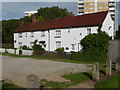
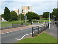
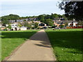
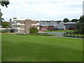
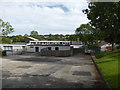
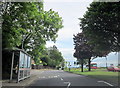
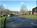
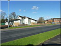
32 photos from this area
Area Information
Key information about the B38 9LB including its size, population, and administrative classification.
- Area Type
- Postcode
- Area Size
- 1.2 hectares
- Population
- 1709
- Population Density
- 3415 people/km²
House Prices in B38 9LB
59
Properties
£144,125
Average Sold Price
£56,000
Lowest Price
£325,000
Highest Price
Showing 59 properties
| Address | Type | Beds | Baths | Last Sale Price | Last Sale Date | |
|---|---|---|---|---|---|---|
| 3 Medway Grove, Birmingham, B38 9LB | house | - | - | £145,000 | Sep 2025 | |
| 69 Medway Grove, Birmingham, B38 9LB | house | - | - | £285,000 | Jul 2022 | |
| 63 Medway Grove, Birmingham, B38 9LB | house | - | - | £315,000 | Jun 2022 | |
| 61 Medway Grove, Birmingham, B38 9LB | house | - | - | £325,000 | May 2022 | |
| 39 Medway Grove, Birmingham, B38 9LB | house | 3 | 1 | £121,000 | Mar 2021 | |
| 19 Medway Grove, Birmingham, B38 9LB | Terraced | 3 | 1 | £120,000 | Oct 2019 | |
| 9 Medway Grove, Birmingham, B38 9LB | house | - | - | £62,000 | Nov 2014 | |
| 34 Medway Grove, Birmingham, B38 9LB | house | - | - | £79,000 | Oct 2014 | |
| 24 Medway Grove, Birmingham, B38 9LB | house | - | - | £72,500 | Mar 2014 | |
| 1 Medway Grove, Birmingham, B38 9LB | Terraced | 3 | 1 | £87,000 | May 2004 |
Page 1 of 6
Energy Efficiency in B38 9LB
Amenities
Schools
| Rank | School | Type | Entry gender | Ages |
|---|
Explore more schools in this area
Go to Schools tabDemographics
Household Size
One person
most common
Accommodation Type
Houses
most common
Tenure
31
majority
Ethnic Group
White
most common
Religion
N/A
most common
Household Composition
N/A
most common
Age
47
median
Adults (30-64 years)
most common
Household Deprivation
N/A
with no deprivation
NS-SEC
19
in Lower managerial occupations
Explore more demographic insights in this area
Go to Demographics tabPlanning
Planning Constraints
- Flood RiskPremium
- Ramsar Wetland SitesPremium
- Area of Outstanding Natural BeautyPremium
- Protected Nature ReservePremium
- Protected WoodlandPremium