Area Overview for B38 9AN
Photos of B38 9AN
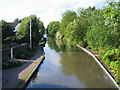

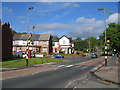
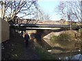
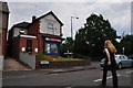
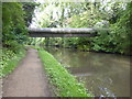
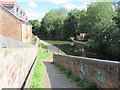
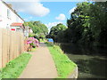
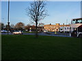
48 photos from this area
Area Information
Key information about the B38 9AN including its size, population, and administrative classification.
- Area Type
- Postcode
- Area Size
- 7840 m²
- Population
- 1763
- Population Density
- 4757 people/km²
House Prices in B38 9AN
21
Properties
£156,256
Average Sold Price
£51,950
Lowest Price
£332,500
Highest Price
Showing 21 properties
| Address | Type | Beds | Baths | Last Sale Price | Last Sale Date | |
|---|---|---|---|---|---|---|
| 25 Hill Bank Road, Birmingham, B38 9AN | Semi-detached | 4 | 2 | £332,500 | Mar 2025 | |
| 12 Hill Bank Road, Birmingham, B38 9AN | house | 3 | 1 | £245,000 | Mar 2025 | |
| 4 Hill Bank Road, Birmingham, B38 9AN | Semi-detached | 3 | 1 | £225,000 | May 2022 | |
| 1 Hill Bank Road, Birmingham, B38 9AN | Semi-detached | 3 | 2 | £235,000 | Jan 2022 | |
| 6 Hill Bank Road, Birmingham, B38 9AN | Semi-detached | 3 | 1 | £183,000 | Oct 2020 | |
| 24 Hill Bank Road, Birmingham, B38 9AN | Semi-detached | 4 | 1 | £210,000 | Nov 2019 | |
| 19 Hill Bank Road, Birmingham, B38 9AN | Semi-detached | 3 | 1 | £175,000 | Aug 2019 | |
| 23 Hill Bank Road, Birmingham, B38 9AN | Semi-detached | 3 | 1 | £145,000 | Sep 2016 | |
| 15 Hill Bank Road, Birmingham, B38 9AN | house | - | - | £145,000 | Jan 2015 | |
| 10 Hill Bank Road, Birmingham, B38 9AN | house | - | - | £92,000 | Aug 2011 |
Page 1 of 3
Energy Efficiency in B38 9AN
Amenities
Schools
| Rank | School | Type | Entry gender | Ages |
|---|
Explore more schools in this area
Go to Schools tabDemographics
Household Size
One person
most common
Accommodation Type
Houses
most common
Tenure
65
majority
Ethnic Group
White
most common
Religion
N/A
most common
Household Composition
N/A
most common
Age
47
median
Adults (30-64 years)
most common
Household Deprivation
N/A
with no deprivation
NS-SEC
32
in Lower managerial occupations
Explore more demographic insights in this area
Go to Demographics tabPlanning
Planning Constraints
- Flood RiskPremium
- Ramsar Wetland SitesPremium
- Area of Outstanding Natural BeautyPremium
- Protected Nature ReservePremium
- Protected WoodlandPremium