Area Overview for B37 6SZ
Photos of B37 6SZ
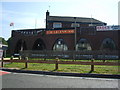
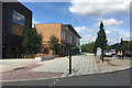
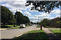
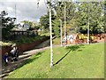
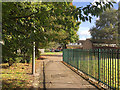
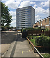
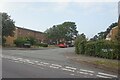
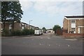
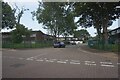
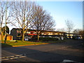
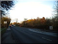
35 photos from this area
Area Information
Key information about the B37 6SZ including its size, population, and administrative classification.
- Area Type
- Postcode
- Area Size
- 6943 m²
- Population
- Not available
- Population Density
- Not available
House Prices in B37 6SZ
24
Properties
£140,844
Average Sold Price
£53,500
Lowest Price
£240,000
Highest Price
Showing 24 properties
| Address | Type | Beds | Baths | Last Sale Price | Last Sale Date | |
|---|---|---|---|---|---|---|
| 20 Lyecroft Avenue, Chelmsley Wood, Solihull, B37 6SZ | Detached | 3 | 1 | £185,000 | Feb 2025 | |
| 4 Lyecroft Avenue, Chelmsley Wood, Solihull, B37 6SZ | Semi-detached | 3 | 1 | £240,000 | Jul 2023 | |
| 14 Lyecroft Avenue, Chelmsley Wood, Solihull, B37 6SZ | house | - | - | £215,000 | Sep 2022 | |
| 29 Lyecroft Avenue, Chelmsley Wood, Solihull, B37 6SZ | house | - | - | £192,500 | Sep 2021 | |
| 19 Lyecroft Avenue, Chelmsley Wood, Solihull, B37 6SZ | Detached | 3 | 1 | £189,000 | Mar 2021 | |
| 23 Lyecroft Avenue, Chelmsley Wood, Solihull, B37 6SZ | Semi-detached | - | - | £64,600 | May 2001 | |
| 12 Lyecroft Avenue, Chelmsley Wood, Solihull, B37 6SZ | house | - | - | £69,995 | Oct 2000 | |
| 22 Lyecroft Avenue, Chelmsley Wood, Solihull, B37 6SZ | Semi-detached | - | - | £58,000 | Jan 1996 | |
| 10 Lyecroft Avenue, Chelmsley Wood, Solihull, B37 6SZ | house | - | - | £53,500 | May 1995 | |
| 21 Lyecroft Avenue, Chelmsley Wood, Solihull, B37 6SZ | Semi-detached | - | - | - | - |
Page 1 of 3
Energy Efficiency in B37 6SZ
Amenities
Schools
| Rank | School | Type | Entry gender | Ages |
|---|
Explore more schools in this area
Go to Schools tabDemographics
Household Size
One person
most common
Accommodation Type
Houses
most common
Tenure
37
majority
Ethnic Group
White
most common
Religion
N/A
most common
Household Composition
N/A
most common
Age
47
median
Adults (30-64 years)
most common
Household Deprivation
N/A
with no deprivation
NS-SEC
18
in Lower managerial occupations
Explore more demographic insights in this area
Go to Demographics tabPlanning
Planning Constraints
- Flood RiskPremium
- Ramsar Wetland SitesPremium
- Area of Outstanding Natural BeautyPremium
- Protected Nature ReservePremium
- Protected WoodlandPremium