Area Overview for B37 6ET
Photos of B37 6ET
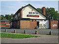
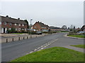
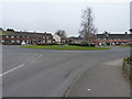
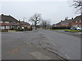
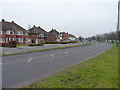
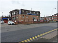
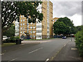

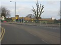

16 photos from this area
Area Information
Key information about the B37 6ET including its size, population, and administrative classification.
- Area Type
- Postcode
- Area Size
- 9121 m²
- Population
- 1846
- Population Density
- 6041 people/km²
House Prices in B37 6ET
41
Properties
£148,712
Average Sold Price
£3,814
Lowest Price
£199,950
Highest Price
Showing 41 properties
| Address | Type | Beds | Baths | Last Sale Price | Last Sale Date | |
|---|---|---|---|---|---|---|
| 11 Holliars Grove, Kingshurst, Solihull, B37 6ET | Terraced | 3 | 1 | £175,000 | Aug 2023 | |
| 16 Holliars Grove, Kingshurst, Solihull, B37 6ET | house | - | - | £3,814 | Feb 2023 | |
| 17 Holliars Grove, Kingshurst, Solihull, B37 6ET | house | 3 | 1 | £190,000 | Dec 2022 | |
| 27 Holliars Grove, Kingshurst, Solihull, B37 6ET | Terraced | 3 | 1 | £199,950 | Sep 2022 | |
| 19 Holliars Grove, Kingshurst, Solihull, B37 6ET | Terraced | 3 | 1 | £180,000 | Jul 2020 | |
| 21 Holliars Grove, Kingshurst, Solihull, B37 6ET | house | - | - | £149,995 | Nov 2015 | |
| 22 Holliars Grove, Kingshurst, Solihull, B37 6ET | house | - | - | £151,995 | Nov 2015 | |
| 20 Holliars Grove, Kingshurst, Solihull, B37 6ET | house | - | - | £149,995 | Nov 2015 | |
| 15 Holliars Grove, Kingshurst, Solihull, B37 6ET | Terraced | 3 | 1 | £146,795 | Nov 2015 | |
| 18 Holliars Grove, Kingshurst, Solihull, B37 6ET | Terraced | 3 | - | £168,500 | Sep 2015 |
Page 1 of 5
Energy Efficiency in B37 6ET
Amenities
Schools
| Rank | School | Type | Entry gender | Ages |
|---|
Explore more schools in this area
Go to Schools tabDemographics
Household Size
Family (3-5 people)
most common
Accommodation Type
Houses
most common
Tenure
37
majority
Ethnic Group
White
most common
Religion
N/A
most common
Household Composition
N/A
most common
Age
47
median
Adults (30-64 years)
most common
Household Deprivation
N/A
with no deprivation
NS-SEC
16
in Lower managerial occupations
Explore more demographic insights in this area
Go to Demographics tabPlanning
Planning Constraints
- Flood RiskPremium
- Ramsar Wetland SitesPremium
- Area of Outstanding Natural BeautyPremium
- Protected Nature ReservePremium
- Protected WoodlandPremium