Area Overview for B36 9HL
Photos of B36 9HL

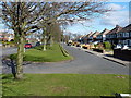
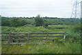
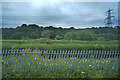
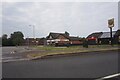
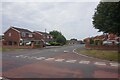
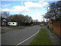
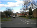
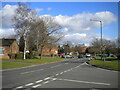
34 photos from this area
Area Information
Key information about the B36 9HL including its size, population, and administrative classification.
- Area Type
- Postcode
- Area Size
- 1.5 hectares
- Population
- 1539
- Population Density
- 5427 people/km²
House Prices in B36 9HL
38
Properties
£165,800
Average Sold Price
£12,500
Lowest Price
£260,000
Highest Price
Showing 38 properties
| Address | Type | Beds | Baths | Last Sale Price | Last Sale Date | |
|---|---|---|---|---|---|---|
| 2 Ronald Grove, Castle Bromwich, Solihull, B36 9HL | house | - | - | £250,000 | Nov 2024 | |
| 29 Ronald Grove, Castle Bromwich, Solihull, B36 9HL | Retail | 3 | 1 | £242,000 | Jul 2022 | |
| 30 Ronald Grove, Castle Bromwich, Solihull, B36 9HL | Semi-detached | - | - | £12,500 | Apr 2022 | |
| 11 Ronald Grove, Castle Bromwich, Solihull, B36 9HL | house | - | - | £220,000 | Dec 2021 | |
| 14 Ronald Grove, Castle Bromwich, Solihull, B36 9HL | house | - | - | £260,000 | May 2021 | |
| 28 Ronald Grove, Castle Bromwich, Solihull, B36 9HL | house | - | - | £198,000 | Nov 2020 | |
| 37 Ronald Grove, Castle Bromwich, Solihull, B36 9HL | Semi-detached | 3 | 1 | £240,000 | Sep 2020 | |
| 4 Ronald Grove, Castle Bromwich, Solihull, B36 9HL | Semi-detached | 3 | 1 | £258,000 | Jan 2020 | |
| 12 Ronald Grove, Castle Bromwich, Solihull, B36 9HL | Semi-detached | 3 | - | £223,000 | Jun 2019 | |
| 24 Ronald Grove, Castle Bromwich, Solihull, B36 9HL | Semi-detached | 3 | 1 | £230,000 | Aug 2018 |
Page 1 of 4
Energy Efficiency in B36 9HL
Amenities
Schools
| Rank | School | Type | Entry gender | Ages |
|---|
Explore more schools in this area
Go to Schools tabDemographics
Household Size
Family (3-5 people)
most common
Accommodation Type
Houses
most common
Tenure
92
majority
Ethnic Group
White
most common
Religion
N/A
most common
Household Composition
N/A
most common
Age
47
median
Adults (30-64 years)
most common
Household Deprivation
N/A
with no deprivation
NS-SEC
30
in Lower managerial occupations
Explore more demographic insights in this area
Go to Demographics tabPlanning
Planning Constraints
- Flood RiskPremium
- Ramsar Wetland SitesPremium
- Area of Outstanding Natural BeautyPremium
- Protected Nature ReservePremium
- Protected WoodlandPremium