Area Overview for B36 8TD
Photos of B36 8TD
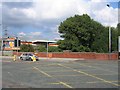
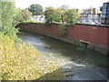
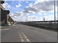
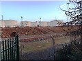

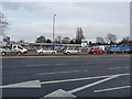
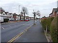
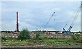
40 photos from this area
Area Information
Key information about the B36 8TD including its size, population, and administrative classification.
- Area Type
- Postcode
- Area Size
- 4514 m²
- Population
- 1514
- Population Density
- 3193 people/km²
House Prices in B36 8TD
13
Properties
£124,444
Average Sold Price
£85,000
Lowest Price
£190,000
Highest Price
Showing 13 properties
| Address | Type | Beds | Baths | Last Sale Price | Last Sale Date | |
|---|---|---|---|---|---|---|
| 25 Bromford Drive, Birmingham, B36 8TD | Terraced | 3 | 1 | £130,000 | Jul 2025 | |
| 23 Bromford Drive, Birmingham, B36 8TD | house | 3 | 1 | £163,000 | May 2022 | |
| 3 Bromford Drive, Birmingham, B36 8TD | Terraced | 3 | 1 | £158,000 | Mar 2021 | |
| 11 Bromford Drive, Birmingham, B36 8TD | house | - | - | £96,000 | Feb 2020 | |
| 15 Bromford Drive, Birmingham, B36 8TD | house | - | - | £190,000 | Aug 2017 | |
| 7 Bromford Drive, Birmingham, B36 8TD | house | - | - | £98,000 | Aug 2010 | |
| 19 Bromford Drive, Birmingham, B36 8TD | house | - | - | £107,000 | Nov 2005 | |
| 1 Bromford Drive, Birmingham, B36 8TD | Terraced | 3 | - | £93,000 | Aug 2005 | |
| 21 Bromford Drive, Birmingham, B36 8TD | Terraced | - | - | £85,000 | Jul 2004 | |
| 5 Bromford Drive, Birmingham, B36 8TD | Terraced | - | - | - | - |
Page 1 of 2
Energy Efficiency in B36 8TD
Amenities
Schools
| Rank | School | Type | Entry gender | Ages |
|---|
Explore more schools in this area
Go to Schools tabDemographics
Household Size
Family (3-5 people)
most common
Accommodation Type
Houses
most common
Tenure
60
majority
Ethnic Group
White
most common
Religion
N/A
most common
Household Composition
N/A
most common
Age
47
median
Adults (30-64 years)
most common
Household Deprivation
N/A
with no deprivation
NS-SEC
16
in Lower managerial occupations
Explore more demographic insights in this area
Go to Demographics tabPlanning
Planning Constraints
- Flood RiskPremium
- Ramsar Wetland SitesPremium
- Area of Outstanding Natural BeautyPremium
- Protected Nature ReservePremium
- Protected WoodlandPremium