Area Overview for B36 8LR
Photos of B36 8LR
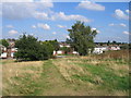
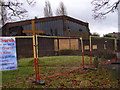
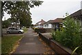
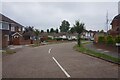
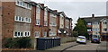
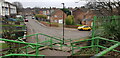
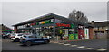
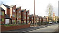
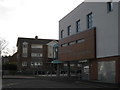
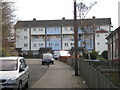
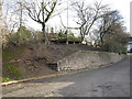
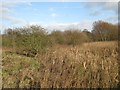
33 photos from this area
Area Information
Key information about the B36 8LR including its size, population, and administrative classification.
- Area Type
- Postcode
- Area Size
- 1.4 hectares
- Population
- 1349
- Population Density
- 5030 people/km²
House Prices in B36 8LR
46
Properties
£103,361
Average Sold Price
£32,500
Lowest Price
£228,000
Highest Price
Showing 46 properties
| Address | Type | Beds | Baths | Last Sale Price | Last Sale Date | |
|---|---|---|---|---|---|---|
| 69 Kempson Road, Birmingham, B36 8LR | house | - | - | £32,500 | Oct 2025 | |
| 65 Kempson Road, Birmingham, B36 8LR | Semi-detached | 3 | 1 | £228,000 | Mar 2025 | |
| 42 Kempson Road, Birmingham, B36 8LR | house | 3 | - | £165,000 | Jul 2021 | |
| 51 Kempson Road, Birmingham, B36 8LR | Semi-detached | 3 | 1 | £189,995 | May 2021 | |
| 67 Kempson Road, Birmingham, B36 8LR | Semi-detached | 3 | 1 | £125,000 | Dec 2016 | |
| 44 Kempson Road, Birmingham, B36 8LR | Terraced | 3 | 1 | £92,250 | Jun 2014 | |
| 36 Kempson Road, Birmingham, B36 8LR | Semi-detached | 3 | 1 | £83,000 | Dec 2009 | |
| 38 Kempson Road, Birmingham, B36 8LR | house | - | - | £95,000 | Jul 2009 | |
| 75 Kempson Road, Birmingham, B36 8LR | Terraced | - | - | £125,000 | Jul 2007 | |
| 57 Kempson Road, Birmingham, B36 8LR | house | - | - | £97,000 | May 2005 |
Page 1 of 5
Energy Efficiency in B36 8LR
Amenities
Schools
| Rank | School | Type | Entry gender | Ages |
|---|
Explore more schools in this area
Go to Schools tabDemographics
Household Size
Family (3-5 people)
most common
Accommodation Type
Houses
most common
Tenure
33
majority
Ethnic Group
White
most common
Religion
N/A
most common
Household Composition
N/A
most common
Age
22
median
Adults (30-64 years)
most common
Household Deprivation
N/A
with no deprivation
NS-SEC
14
in Lower managerial occupations
Explore more demographic insights in this area
Go to Demographics tabPlanning
Planning Constraints
- Flood RiskPremium
- Ramsar Wetland SitesPremium
- Area of Outstanding Natural BeautyPremium
- Protected Nature ReservePremium
- Protected WoodlandPremium