Area Overview for B36 0JG
Photos of B36 0JG
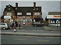
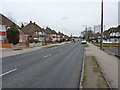
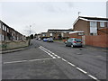
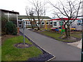
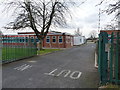
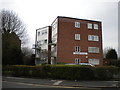
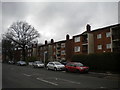
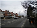
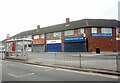
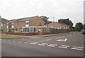
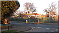
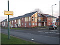
28 photos from this area
Area Information
Key information about the B36 0JG including its size, population, and administrative classification.
- Area Type
- Postcode
- Area Size
- 1.3 hectares
- Population
- 1516
- Population Density
- 4755 people/km²
House Prices in B36 0JG
10
Properties
£205,500
Average Sold Price
£191,000
Lowest Price
£220,000
Highest Price
Showing 10 properties
| Address | Type | Beds | Baths | Last Sale Price | Last Sale Date | |
|---|---|---|---|---|---|---|
| Flat 313, Chester Road, Solihull, B36 0JG | Flat | - | - | £220,000 | Nov 2007 | |
| Flat Above, 335 Chester Road, Solihull, B36 0JG | Flat | - | - | £191,000 | Jul 2004 | |
| Central Security Services (mid) Ltd, 309 Chester Road, Solihull, B36 0JG | retail_financial | - | - | - | - | |
| Flat At, 319 Chester Road, Solihull, B36 0JG | Flat | - | - | - | - | |
| Flat At, 321 Chester Road, Solihull, B36 0JG | Flat | - | - | - | - | |
| Flat At, 343 Chester Road, Solihull, B36 0JG | Flat | - | - | - | - | |
| Jeera Indian Restaurant And Takeaway, 341 Chester Road, Solihull, B36 0JG | restaurant_cafe | - | - | - | - | |
| 323A Chester Road, Solihull, B36 0JG | Flat | - | - | - | - | |
| Flat, 327 Chester Road, Solihull, B36 0JG | Flat | - | - | - | - | |
| First Floor Flat, 337 Chester Road, Solihull, B36 0JG | Flat | 2 | - | - | - |
Energy Efficiency in B36 0JG
Amenities
Schools
| Rank | School | Type | Entry gender | Ages |
|---|
Explore more schools in this area
Go to Schools tabDemographics
Household Size
Family (3-5 people)
most common
Accommodation Type
Houses
most common
Tenure
89
majority
Ethnic Group
White
most common
Religion
N/A
most common
Household Composition
N/A
most common
Age
47
median
Adults (30-64 years)
most common
Household Deprivation
N/A
with no deprivation
NS-SEC
28
in Lower managerial occupations
Explore more demographic insights in this area
Go to Demographics tabPlanning
Planning Constraints
- Flood RiskPremium
- Ramsar Wetland SitesPremium
- Area of Outstanding Natural BeautyPremium
- Protected Nature ReservePremium
- Protected WoodlandPremium