Area Overview for B35 6NS
Photos of B35 6NS
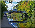
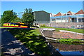
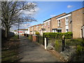
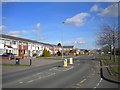
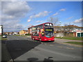
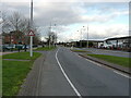
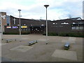
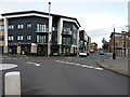
34 photos from this area
Area Information
Key information about the B35 6NS including its size, population, and administrative classification.
- Area Type
- Postcode
- Area Size
- 5812 m²
- Population
- 1358
- Population Density
- 6164 people/km²
House Prices in B35 6NS
18
Properties
£103,790
Average Sold Price
£10,000
Lowest Price
£185,000
Highest Price
Showing 18 properties
| Address | Type | Beds | Baths | Last Sale Price | Last Sale Date | |
|---|---|---|---|---|---|---|
| 82 Stornoway Road, Birmingham, B35 6NS | house | - | - | £185,000 | Apr 2020 | |
| 86 Stornoway Road, Birmingham, B35 6NS | house | - | - | £105,000 | Sep 2018 | |
| 54 Stornoway Road, Birmingham, B35 6NS | Maisonette | 2 | - | £102,000 | Sep 2016 | |
| 72 Stornoway Road, Birmingham, B35 6NS | house | - | - | £160,000 | Aug 2016 | |
| 62 Stornoway Road, Birmingham, B35 6NS | Maisonette | 2 | - | £10,000 | Feb 2016 | |
| 56 Stornoway Road, Birmingham, B35 6NS | Maisonette | 2 | - | £76,000 | Nov 2013 | |
| 58 Stornoway Road, Birmingham, B35 6NS | Maisonette | - | - | £80,950 | Oct 2009 | |
| 60 Stornoway Road, Birmingham, B35 6NS | Flat | - | - | £82,000 | Feb 2008 | |
| 64 Stornoway Road, Birmingham, B35 6NS | Flat | - | - | £97,000 | Jun 2006 | |
| 68 Stornoway Road, Birmingham, B35 6NS | Semi-detached | 3 | 1 | £139,950 | Apr 2004 |
Page 1 of 2
Energy Efficiency in B35 6NS
Amenities
Schools
| Rank | School | Type | Entry gender | Ages |
|---|
Explore more schools in this area
Go to Schools tabDemographics
Household Size
Family (3-5 people)
most common
Accommodation Type
Houses
most common
Tenure
68
majority
Ethnic Group
White
most common
Religion
N/A
most common
Household Composition
N/A
most common
Age
47
median
Adults (30-64 years)
most common
Household Deprivation
N/A
with no deprivation
NS-SEC
18
in Lower managerial occupations
Explore more demographic insights in this area
Go to Demographics tabPlanning
Planning Constraints
- Flood RiskPremium
- Ramsar Wetland SitesPremium
- Area of Outstanding Natural BeautyPremium
- Protected Nature ReservePremium
- Protected WoodlandPremium