Area Overview for B35 6DE
Photos of B35 6DE
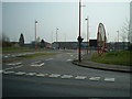
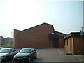
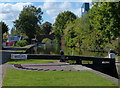
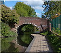
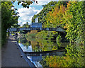
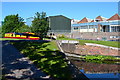
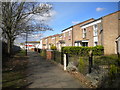
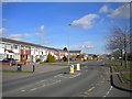
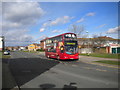
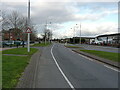
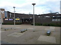
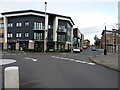
34 photos from this area
Area Information
Key information about the B35 6DE including its size, population, and administrative classification.
- Area Type
- Postcode
- Area Size
- 8557 m²
- Population
- 1675
- Population Density
- 4125 people/km²
House Prices in B35 6DE
32
Properties
£98,333
Average Sold Price
£40,000
Lowest Price
£180,000
Highest Price
Showing 32 properties
| Address | Type | Beds | Baths | Last Sale Price | Last Sale Date | |
|---|---|---|---|---|---|---|
| 45 Sumburgh Croft, Birmingham, B35 6DE | Retail | 3 | 1 | £180,000 | Sep 2022 | |
| 57 Sumburgh Croft, Birmingham, B35 6DE | house | - | - | £108,000 | Aug 2014 | |
| 55 Sumburgh Croft, Birmingham, B35 6DE | house | 3 | - | £80,000 | Dec 2011 | |
| 27 Sumburgh Croft, Birmingham, B35 6DE | Terraced | - | - | £115,000 | Jun 2007 | |
| 75 Sumburgh Croft, Birmingham, B35 6DE | Terraced | - | - | £67,000 | Nov 2003 | |
| 83 Sumburgh Croft, Birmingham, B35 6DE | house | - | - | £40,000 | Jun 2001 | |
| 69 Sumburgh Croft, Birmingham, B35 6DE | undefined | - | - | - | - | |
| 67 Sumburgh Croft, Birmingham, B35 6DE | undefined | - | - | - | - | |
| Former 65, Sumburgh Croft, Birmingham, B35 6DE | undefined | - | - | - | - | |
| 65 Sumburgh Croft, Birmingham, B35 6DE | house | - | - | - | - |
Page 1 of 4
Energy Efficiency in B35 6DE
Amenities
Schools
| Rank | School | Type | Entry gender | Ages |
|---|
Explore more schools in this area
Go to Schools tabDemographics
Household Size
One person
most common
Accommodation Type
Houses
most common
Tenure
35
majority
Ethnic Group
White
most common
Religion
N/A
most common
Household Composition
N/A
most common
Age
47
median
Adults (30-64 years)
most common
Household Deprivation
N/A
with no deprivation
NS-SEC
17
in Lower managerial occupations
Explore more demographic insights in this area
Go to Demographics tabPlanning
Planning Constraints
- Flood RiskPremium
- Ramsar Wetland SitesPremium
- Area of Outstanding Natural BeautyPremium
- Protected Nature ReservePremium
- Protected WoodlandPremium