Area Overview for B34 7SJ
Photos of B34 7SJ
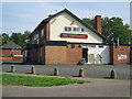
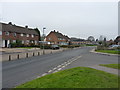
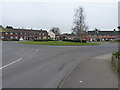
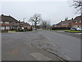
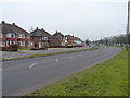
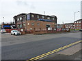
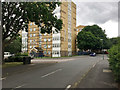
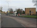
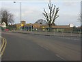
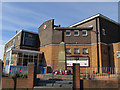
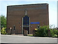
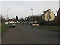
16 photos from this area
Area Information
Key information about the B34 7SJ including its size, population, and administrative classification.
- Area Type
- Postcode
- Area Size
- 2.2 hectares
- Population
- 1820
- Population Density
- 2435 people/km²
House Prices in B34 7SJ
38
Properties
£109,625
Average Sold Price
£37,500
Lowest Price
£210,000
Highest Price
Showing 38 properties
| Address | Type | Beds | Baths | Last Sale Price | Last Sale Date | |
|---|---|---|---|---|---|---|
| 155 Kendrick Avenue, Birmingham, B34 7SJ | house | - | - | £140,000 | Sep 2025 | |
| 153 Kendrick Avenue, Birmingham, B34 7SJ | Terraced | 3 | 2 | £210,000 | Aug 2025 | |
| 200 Kendrick Avenue, Birmingham, B34 7SJ | Terraced | 3 | 1 | £137,800 | Dec 2023 | |
| 165 Kendrick Avenue, Birmingham, B34 7SJ | Terraced | 3 | 1 | £150,000 | Dec 2018 | |
| 157 Kendrick Avenue, Birmingham, B34 7SJ | Terraced | 3 | - | £105,000 | Dec 2016 | |
| 208 Kendrick Avenue, Birmingham, B34 7SJ | Flat | - | - | £66,000 | Jul 2016 | |
| 161 Kendrick Avenue, Birmingham, B34 7SJ | Terraced | 3 | - | £85,000 | Aug 2014 | |
| 182 Kendrick Avenue, Birmingham, B34 7SJ | house | - | - | £75,000 | Jun 2010 | |
| 206 Kendrick Avenue, Birmingham, B34 7SJ | Terraced | - | - | £89,950 | May 2004 | |
| 184 Kendrick Avenue, Birmingham, B34 7SJ | Terraced | - | - | £37,500 | Apr 1997 |
Page 1 of 4
Energy Efficiency in B34 7SJ
Amenities
Schools
| Rank | School | Type | Entry gender | Ages |
|---|
Explore more schools in this area
Go to Schools tabDemographics
Household Size
One person
most common
Accommodation Type
Houses
most common
Tenure
49
majority
Ethnic Group
White
most common
Religion
N/A
most common
Household Composition
N/A
most common
Age
47
median
Adults (30-64 years)
most common
Household Deprivation
N/A
with no deprivation
NS-SEC
18
in Lower managerial occupations
Explore more demographic insights in this area
Go to Demographics tabPlanning
Planning Constraints
- Flood RiskPremium
- Ramsar Wetland SitesPremium
- Area of Outstanding Natural BeautyPremium
- Protected Nature ReservePremium
- Protected WoodlandPremium