Area Overview for B34 7RT
Photos of B34 7RT
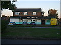
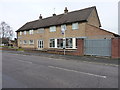
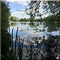
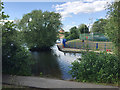
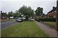
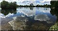
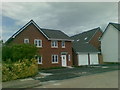
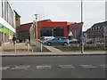
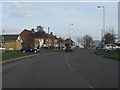

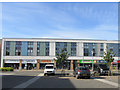

23 photos from this area
Area Information
Key information about the B34 7RT including its size, population, and administrative classification.
- Area Type
- Postcode
- Area Size
- 9776 m²
- Population
- 1997
- Population Density
- 5900 people/km²
House Prices in B34 7RT
24
Properties
£112,068
Average Sold Price
£14,000
Lowest Price
£195,000
Highest Price
Showing 24 properties
| Address | Type | Beds | Baths | Last Sale Price | Last Sale Date | |
|---|---|---|---|---|---|---|
| 280 Packington Avenue, Birmingham, B34 7RT | Terraced | 2 | 1 | £190,000 | Oct 2024 | |
| 290 Packington Avenue, Birmingham, B34 7RT | Terraced | 2 | 1 | £195,000 | Feb 2024 | |
| 274 Packington Avenue, Birmingham, B34 7RT | Terraced | 2 | 1 | £187,000 | Feb 2023 | |
| 292 Packington Avenue, Birmingham, B34 7RT | Terraced | 2 | 1 | £130,000 | Mar 2021 | |
| 294 Packington Avenue, Birmingham, B34 7RT | house | - | - | £100,000 | Dec 2018 | |
| 298 Packington Avenue, Birmingham, B34 7RT | Terraced | 5 | 2 | £185,000 | Apr 2018 | |
| 262 Packington Avenue, Birmingham, B34 7RT | Semi-detached | 2 | - | £102,500 | Dec 2015 | |
| 288 Packington Avenue, Birmingham, B34 7RT | house | - | - | £107,500 | Feb 2015 | |
| 264 Packington Avenue, Birmingham, B34 7RT | Semi-detached | 2 | - | £122,000 | Oct 2014 | |
| 272 Packington Avenue, Birmingham, B34 7RT | house | 2 | - | £14,000 | Mar 2005 |
Page 1 of 3
Energy Efficiency in B34 7RT
Amenities
Schools
| Rank | School | Type | Entry gender | Ages |
|---|
Explore more schools in this area
Go to Schools tabDemographics
Household Size
Family (3-5 people)
most common
Accommodation Type
Houses
most common
Tenure
50
majority
Ethnic Group
White
most common
Religion
N/A
most common
Household Composition
N/A
most common
Age
47
median
Adults (30-64 years)
most common
Household Deprivation
N/A
with no deprivation
NS-SEC
19
in Lower managerial occupations
Explore more demographic insights in this area
Go to Demographics tabPlanning
Planning Constraints
- Flood RiskPremium
- Ramsar Wetland SitesPremium
- Area of Outstanding Natural BeautyPremium
- Protected Nature ReservePremium
- Protected WoodlandPremium