Area Overview for B34 7DR
Photos of B34 7DR
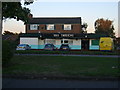
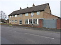
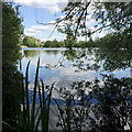
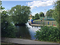
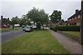

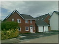
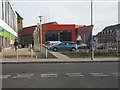
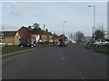

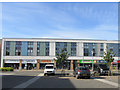

23 photos from this area
Area Information
Key information about the B34 7DR including its size, population, and administrative classification.
- Area Type
- Postcode
- Area Size
- 9576 m²
- Population
- 1849
- Population Density
- 5350 people/km²
House Prices in B34 7DR
37
Properties
£137,184
Average Sold Price
£42,000
Lowest Price
£225,000
Highest Price
Showing 37 properties
| Address | Type | Beds | Baths | Last Sale Price | Last Sale Date | |
|---|---|---|---|---|---|---|
| 25 Turnley Road, Birmingham, B34 7DR | Terraced | 3 | - | £225,000 | Sep 2022 | |
| 71 Turnley Road, Birmingham, B34 7DR | house | - | - | £180,000 | Feb 2022 | |
| 63 Turnley Road, Birmingham, B34 7DR | house | - | - | £168,000 | Nov 2021 | |
| 51 Turnley Road, Birmingham, B34 7DR | house | 2 | - | £170,000 | Jul 2021 | |
| 69 Turnley Road, Birmingham, B34 7DR | Terraced | 4 | 2 | £222,500 | Mar 2019 | |
| 27 Turnley Road, Birmingham, B34 7DR | Terraced | 3 | 1 | £165,000 | Sep 2018 | |
| 47 Turnley Road, Birmingham, B34 7DR | Terraced | 2 | 1 | £135,000 | Apr 2018 | |
| 35 Turnley Road, Birmingham, B34 7DR | Terraced | 3 | - | £136,000 | Mar 2017 | |
| 29 Turnley Road, Birmingham, B34 7DR | Terraced | 3 | 1 | £128,000 | Oct 2015 | |
| 21 Turnley Road, Birmingham, B34 7DR | Terraced | 2 | 1 | £117,000 | Aug 2015 |
Page 1 of 4
Energy Efficiency in B34 7DR
Amenities
Schools
| Rank | School | Type | Entry gender | Ages |
|---|
Explore more schools in this area
Go to Schools tabDemographics
Household Size
One person
most common
Accommodation Type
Houses
most common
Tenure
53
majority
Ethnic Group
White
most common
Religion
N/A
most common
Household Composition
N/A
most common
Age
47
median
Adults (30-64 years)
most common
Household Deprivation
N/A
with no deprivation
NS-SEC
20
in Lower managerial occupations
Explore more demographic insights in this area
Go to Demographics tabPlanning
Planning Constraints
- Flood RiskPremium
- Ramsar Wetland SitesPremium
- Area of Outstanding Natural BeautyPremium
- Protected Nature ReservePremium
- Protected WoodlandPremium