Area Overview for B34 7BA
Photos of B34 7BA
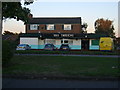
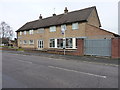
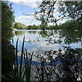
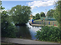
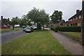
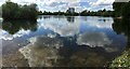
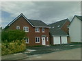
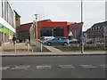
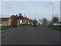
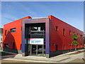
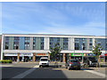

23 photos from this area
Area Information
Key information about the B34 7BA including its size, population, and administrative classification.
- Area Type
- Postcode
- Area Size
- 1627 m²
- Population
- 1833
- Population Density
- 6975 people/km²
House Prices in B34 7BA
8
Properties
£163,286
Average Sold Price
£120,500
Lowest Price
£190,500
Highest Price
Showing 8 properties
| Address | Type | Beds | Baths | Last Sale Price | Last Sale Date | |
|---|---|---|---|---|---|---|
| 56 Shustoke Road, Birmingham, B34 7BA | Detached | 3 | 1 | £190,500 | Jun 2025 | |
| 48 Shustoke Road, Birmingham, B34 7BA | Retail | 3 | 1 | £187,000 | Apr 2022 | |
| 52 Shustoke Road, Birmingham, B34 7BA | Semi-detached | 3 | 2 | £170,000 | Oct 2019 | |
| 41 Shustoke Road, Birmingham, B34 7BA | Semi-detached | 3 | 2 | £177,000 | Feb 2019 | |
| 54 Shustoke Road, Birmingham, B34 7BA | Semi-detached | 3 | 1 | £150,000 | Oct 2018 | |
| 50 Shustoke Road, Birmingham, B34 7BA | Semi-detached | 3 | - | £148,000 | Jul 2015 | |
| 46 Shustoke Road, Birmingham, B34 7BA | house | - | - | £120,500 | Jun 2012 | |
| 44 Shustoke Road, Birmingham, B34 7BA | Semi-detached | - | - | - | - |
Energy Efficiency in B34 7BA
Amenities
Schools
| Rank | School | Type | Entry gender | Ages |
|---|
Explore more schools in this area
Go to Schools tabDemographics
Household Size
One person
most common
Accommodation Type
Houses
most common
Tenure
43
majority
Ethnic Group
White
most common
Religion
N/A
most common
Household Composition
N/A
most common
Age
47
median
Adults (30-64 years)
most common
Household Deprivation
N/A
with no deprivation
NS-SEC
19
in Lower managerial occupations
Explore more demographic insights in this area
Go to Demographics tabPlanning
Planning Constraints
- Flood RiskPremium
- Ramsar Wetland SitesPremium
- Area of Outstanding Natural BeautyPremium
- Protected Nature ReservePremium
- Protected WoodlandPremium