Area Overview for B33 9NS
Photos of B33 9NS

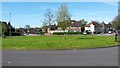
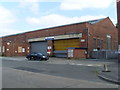
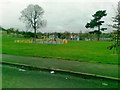
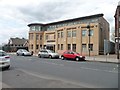
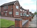

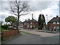
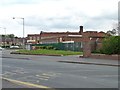
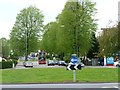
21 photos from this area
Area Information
Key information about the B33 9NS including its size, population, and administrative classification.
- Area Type
- Postcode
- Area Size
- 1.7 hectares
- Population
- 1731
- Population Density
- 7186 people/km²
House Prices in B33 9NS
47
Properties
£118,833
Average Sold Price
£29,500
Lowest Price
£221,000
Highest Price
Showing 47 properties
| Address | Type | Beds | Baths | Last Sale Price | Last Sale Date | |
|---|---|---|---|---|---|---|
| 335 Cole Hall Lane, Birmingham, B33 9NS | Terraced | 3 | 2 | £50,000 | Mar 2025 | |
| 333 Cole Hall Lane, Birmingham, B33 9NS | Terraced | 3 | 1 | £210,000 | Nov 2023 | |
| 361 Cole Hall Lane, Birmingham, B33 9NS | Terraced | 3 | 1 | £185,000 | Aug 2023 | |
| 351 Cole Hall Lane, Birmingham, B33 9NS | Terraced | 3 | 1 | £162,000 | Nov 2022 | |
| 287 Cole Hall Lane, Birmingham, B33 9NS | house | - | - | £204,000 | Oct 2022 | |
| 367 Cole Hall Lane, Birmingham, B33 9NS | house | - | - | £167,000 | Nov 2021 | |
| 371 Cole Hall Lane, Birmingham, B33 9NS | house | - | - | £221,000 | Oct 2021 | |
| 329 Cole Hall Lane, Birmingham, B33 9NS | Terraced | 3 | - | £160,000 | Feb 2021 | |
| 373 Cole Hall Lane, Birmingham, B33 9NS | house | - | - | £150,000 | Oct 2020 | |
| 311 Cole Hall Lane, Birmingham, B33 9NS | Terraced | 2 | 1 | £116,000 | Jun 2019 |
Page 1 of 5
Energy Efficiency in B33 9NS
Amenities
Schools
| Rank | School | Type | Entry gender | Ages |
|---|
Explore more schools in this area
Go to Schools tabDemographics
Household Size
Family (3-5 people)
most common
Accommodation Type
Houses
most common
Tenure
42
majority
Ethnic Group
White
most common
Religion
N/A
most common
Household Composition
N/A
most common
Age
47
median
Adults (30-64 years)
most common
Household Deprivation
N/A
with no deprivation
NS-SEC
15
in Lower managerial occupations
Explore more demographic insights in this area
Go to Demographics tabPlanning
Planning Constraints
- Flood RiskPremium
- Ramsar Wetland SitesPremium
- Area of Outstanding Natural BeautyPremium
- Protected Nature ReservePremium
- Protected WoodlandPremium