Area Overview for B33 9LB
Photos of B33 9LB
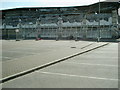
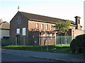
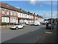
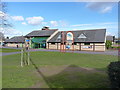
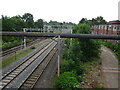
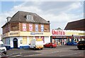
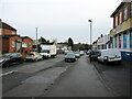


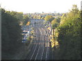
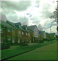

19 photos from this area
Area Information
Key information about the B33 9LB including its size, population, and administrative classification.
- Area Type
- Postcode
- Area Size
- 6439 m²
- Population
- 1731
- Population Density
- 7186 people/km²
House Prices in B33 9LB
21
Properties
£108,145
Average Sold Price
£37,500
Lowest Price
£199,250
Highest Price
Showing 21 properties
| Address | Type | Beds | Baths | Last Sale Price | Last Sale Date | |
|---|---|---|---|---|---|---|
| 27 Plowden Road, Birmingham, B33 9LB | Terraced | 2 | 1 | £199,250 | Jul 2024 | |
| 19 Plowden Road, Birmingham, B33 9LB | Terraced | 3 | 1 | £132,500 | Aug 2023 | |
| 43 Plowden Road, Birmingham, B33 9LB | house | - | - | £173,100 | Dec 2021 | |
| 3 Plowden Road, Birmingham, B33 9LB | Terraced | 3 | 1 | £118,500 | Nov 2017 | |
| 9 Plowden Road, Birmingham, B33 9LB | house | - | - | £97,000 | May 2016 | |
| 37 Plowden Road, Birmingham, B33 9LB | house | - | - | £78,800 | Aug 2015 | |
| 41 Plowden Road, Birmingham, B33 9LB | house | 3 | - | £85,000 | Nov 2012 | |
| 21 Plowden Road, Birmingham, B33 9LB | house | 3 | 1 | £84,950 | Dec 2008 | |
| 1 Plowden Road, Birmingham, B33 9LB | house | 3 | - | £83,000 | Jul 2008 | |
| 39 Plowden Road, Birmingham, B33 9LB | house | 3 | 1 | £100,000 | Jul 2007 |
Page 1 of 3
Energy Efficiency in B33 9LB
Amenities
Schools
| Rank | School | Type | Entry gender | Ages |
|---|
Explore more schools in this area
Go to Schools tabDemographics
Household Size
Family (3-5 people)
most common
Accommodation Type
Houses
most common
Tenure
42
majority
Ethnic Group
White
most common
Religion
N/A
most common
Household Composition
N/A
most common
Age
47
median
Adults (30-64 years)
most common
Household Deprivation
N/A
with no deprivation
NS-SEC
15
in Lower managerial occupations
Explore more demographic insights in this area
Go to Demographics tabPlanning
Planning Constraints
- Flood RiskPremium
- Ramsar Wetland SitesPremium
- Area of Outstanding Natural BeautyPremium
- Protected Nature ReservePremium
- Protected WoodlandPremium