Area Overview for B33 8LE
Photos of B33 8LE
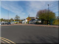
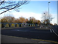
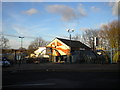
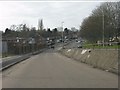
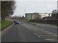
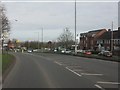
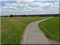
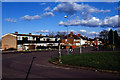
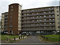

18 photos from this area
Area Information
Key information about the B33 8LE including its size, population, and administrative classification.
- Area Type
- Postcode
- Area Size
- 8659 m²
- Population
- 1684
- Population Density
- 7981 people/km²
House Prices in B33 8LE
31
Properties
£122,514
Average Sold Price
£17,640
Lowest Price
£170,000
Highest Price
Showing 31 properties
| Address | Type | Beds | Baths | Last Sale Price | Last Sale Date | |
|---|---|---|---|---|---|---|
| 128 Kelynmead Road, Birmingham, B33 8LE | Terraced | 3 | 1 | £150,000 | Mar 2023 | |
| 114 Kelynmead Road, Birmingham, B33 8LE | Terraced | 2 | 1 | £145,000 | Nov 2021 | |
| 138 Kelynmead Road, Birmingham, B33 8LE | Terraced | 3 | - | £94,500 | Oct 2021 | |
| 140 Kelynmead Road, Birmingham, B33 8LE | Semi-detached | 3 | 1 | £156,000 | Dec 2020 | |
| 92 Kelynmead Road, Birmingham, B33 8LE | Semi-detached | 3 | 1 | £150,000 | Mar 2019 | |
| 82 Kelynmead Road, Birmingham, B33 8LE | Semi-detached | 4 | - | £170,000 | Sep 2017 | |
| 88 Kelynmead Road, Birmingham, B33 8LE | Semi-detached | - | - | £125,000 | Jul 2008 | |
| 80 Kelynmead Road, Birmingham, B33 8LE | house | - | - | £137,000 | Jun 2007 | |
| 94 Kelynmead Road, Birmingham, B33 8LE | Semi-detached | - | - | £80,000 | Jul 2003 | |
| 130 Kelynmead Road, Birmingham, B33 8LE | Semi-detached | - | - | £17,640 | Oct 2000 |
Page 1 of 4
Energy Efficiency in B33 8LE
Amenities
Schools
| Rank | School | Type | Entry gender | Ages |
|---|
Explore more schools in this area
Go to Schools tabDemographics
Household Size
Family (3-5 people)
most common
Accommodation Type
Houses
most common
Tenure
43
majority
Ethnic Group
asian_total
most common
Religion
N/A
most common
Household Composition
N/A
most common
Age
22
median
Adults (30-64 years)
most common
Household Deprivation
N/A
with no deprivation
NS-SEC
12
in Lower managerial occupations
Explore more demographic insights in this area
Go to Demographics tabPlanning
Planning Constraints
- Flood RiskPremium
- Ramsar Wetland SitesPremium
- Area of Outstanding Natural BeautyPremium
- Protected Nature ReservePremium
- Protected WoodlandPremium